The Westmorland Way 6
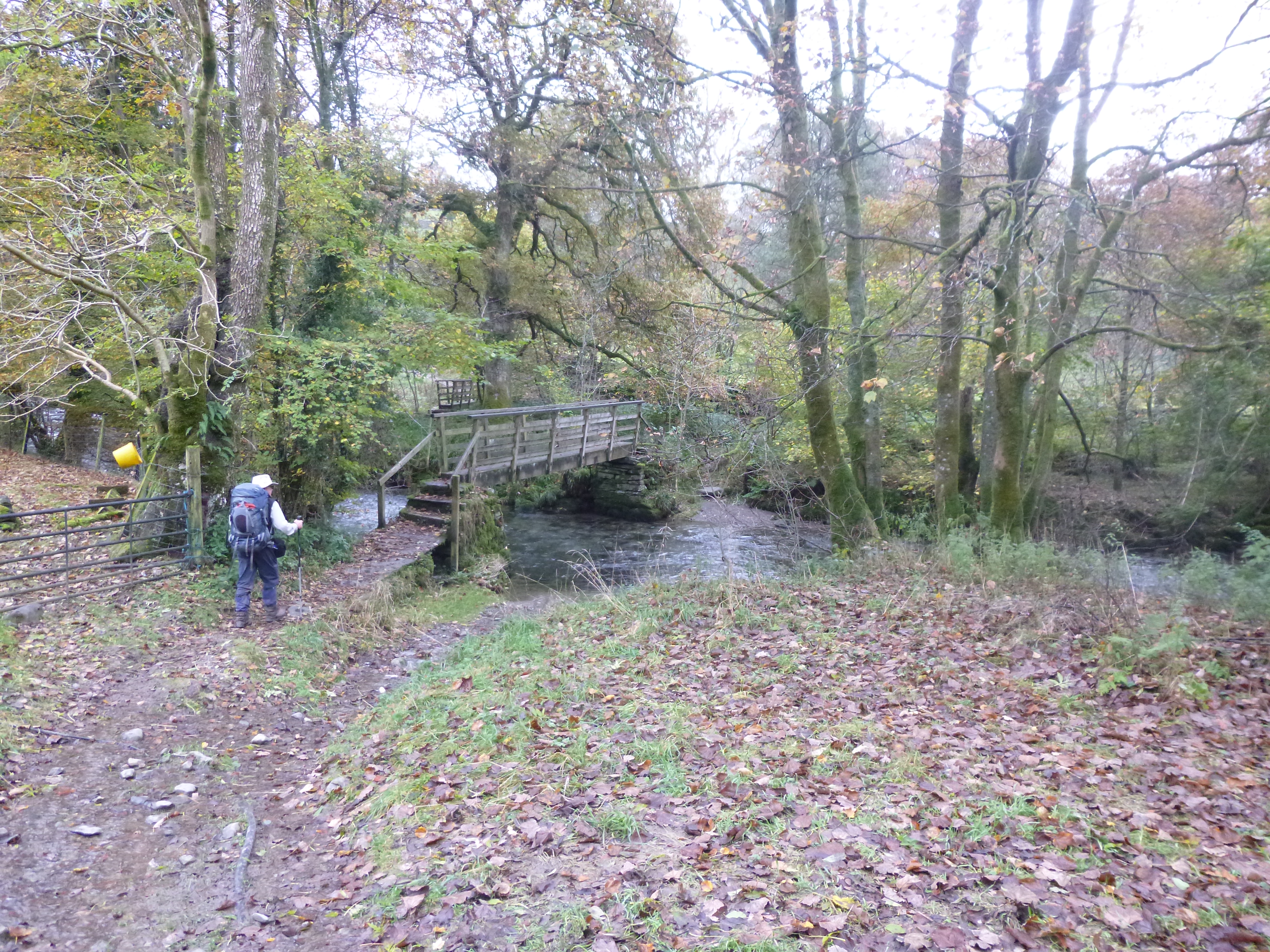
The bridge over Trout Beck
Troutbeck (Windemere YHA) to Kendal (15 miles)
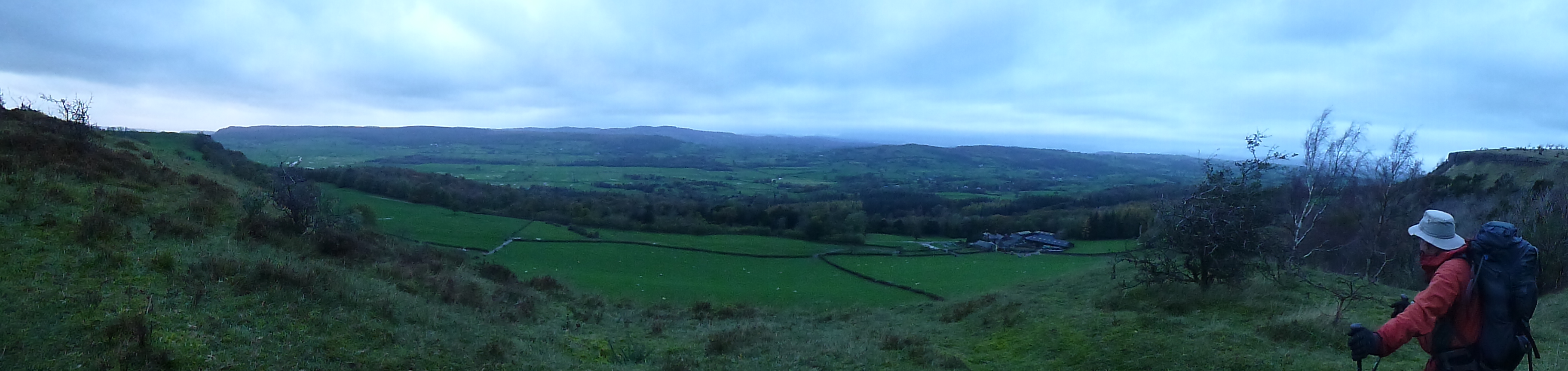
The fine day and crowds of the day before were left behind on what was a strange old days trail walking through to Kendal. We had to retrace our steps from the busy hostel, back down the road to Troutbeck. The morning was overcast, cold and grey. Fortunately it was calm as we reached the village and regained the path, dropping down an old track to cross the Trout beck before an early stiff climb up to the road on the other side to warm us up. We followed the road for a short distance before taking to a green track, passing by a lovely old Larch and some more fine views over Windermere.
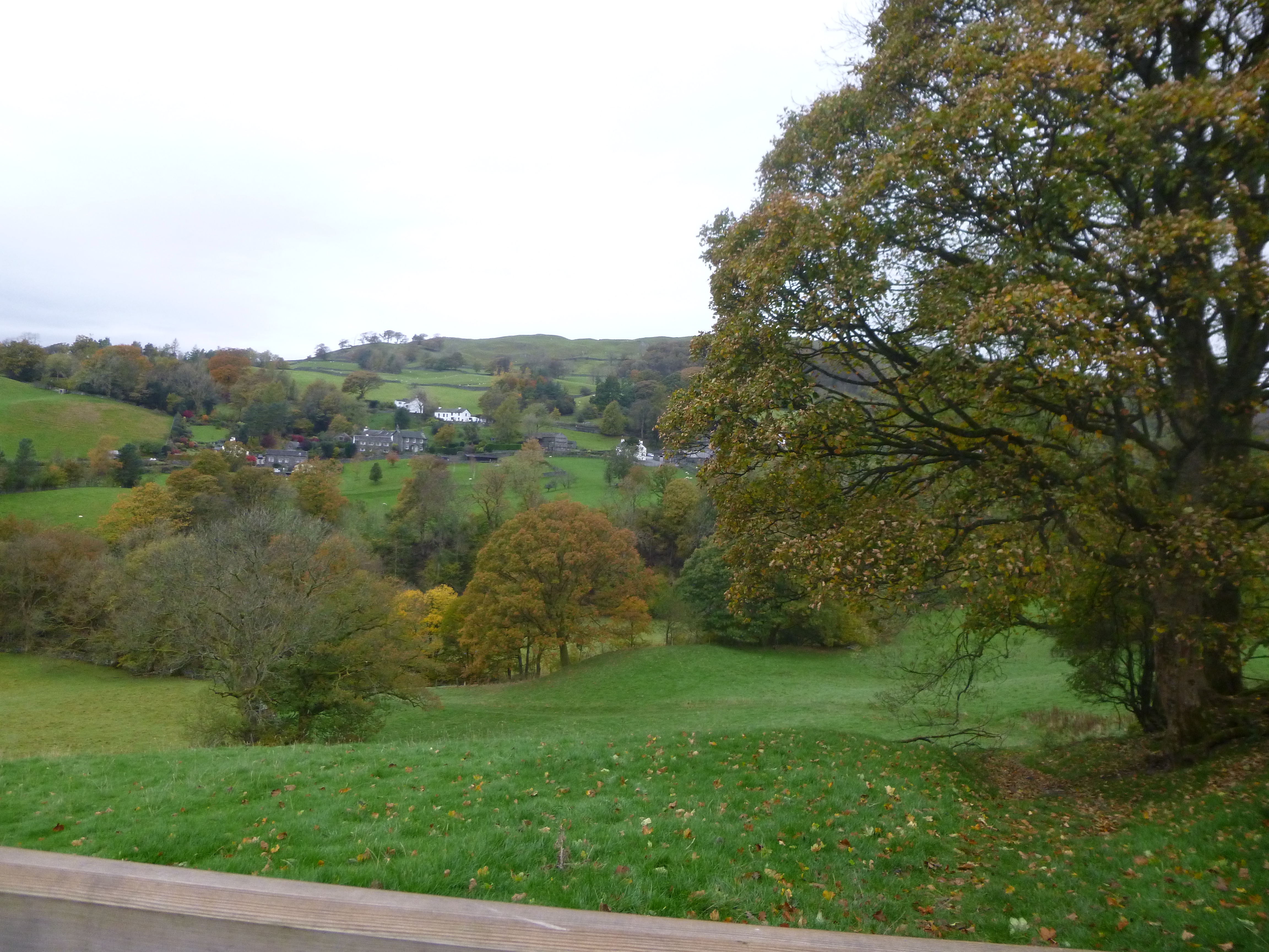
Looking back over the village of Troutbeck
The tracks here were obviously much quieter as we were heading away from the honey pot sites, although there were still one or two others out and about. The route was now much more like the first couple of days, back to a pleasant meander through fields, skirting a number of farms, some with the typical chimney stacks that seem to be peculiar to this part of the country.
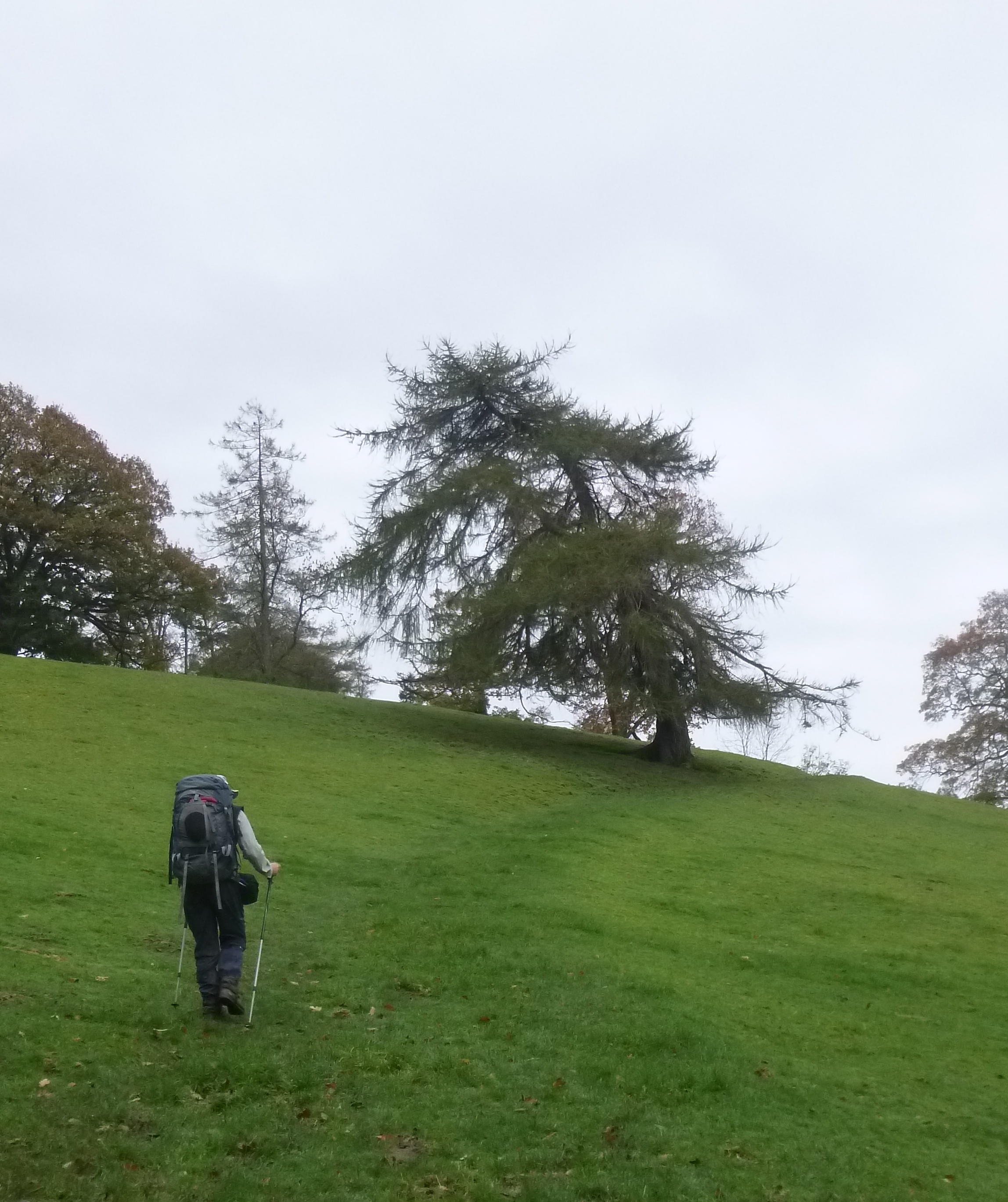
A green track and Larch
It wasn’t long before the tranquillity of the morning was broken on the approach to the main Kendal to Windermere road. It took a few minutes to get across the road, having to wait for a suitable break in the endless flow of traffic as the rain started to fall from the unchanging grey sky. The waterproofs came on, it was the steady persistent rain that soaks everything, and we left the road behind, passing through a very muddy community woodland.
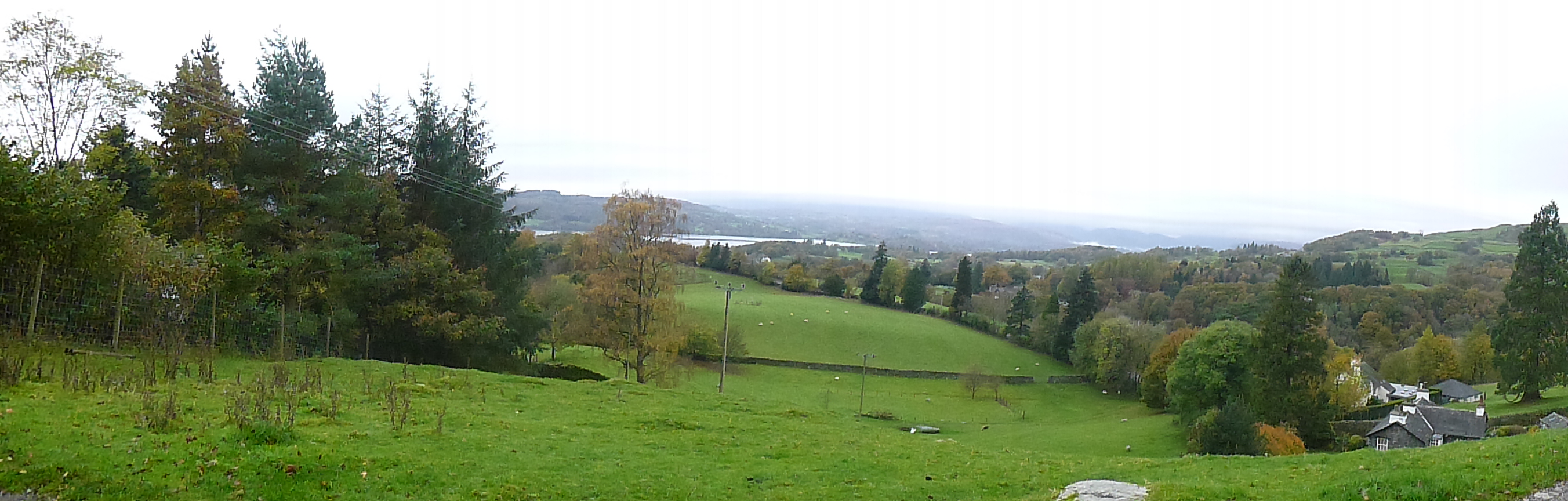
A last look at Windermere
The branch line into Windermere was crossed, next to what looked like an old, and rather attractive mill race. The climb up to School Knot began, first through a housing estate, then up an old lane. Down came the rain still, and to make matters worse the wind was picking up as well. By the time we reached School Knot and reacquainted ourselves with the Dales Way, it was pouring, and not to put too fine a point on it – horrible.
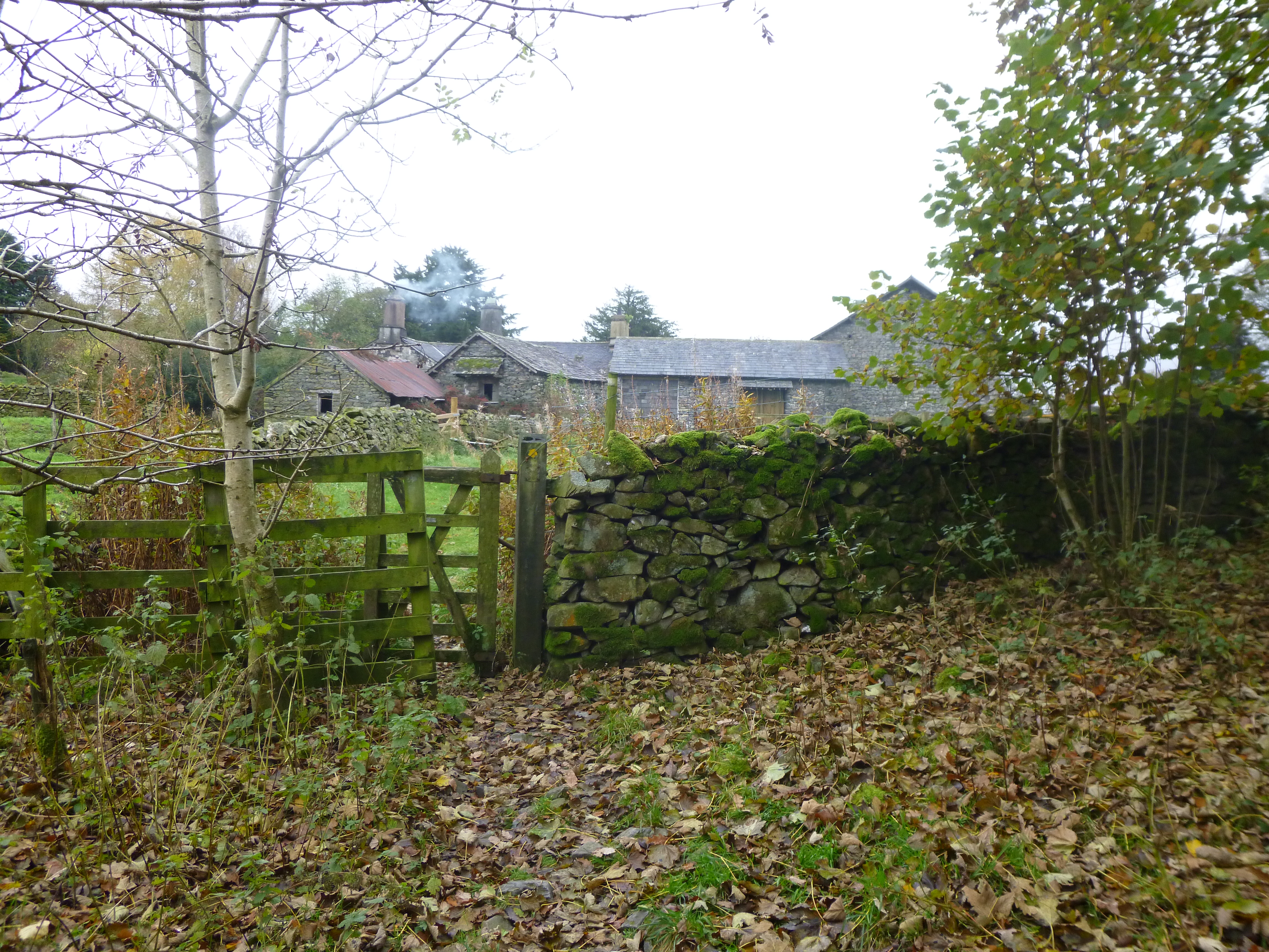
A Typical farm
The walkers cafe in the farm at Hag End seemed to have long gone, dashing our slim hopes that it may have been open for a cup of tea. As we passed the place was in darkness, all signs that it had once been a cafe gone, and even had an angry dog inside that had a good bark at us.
We said goodbye to the Dales Way and continued down a muddy track which petered out in a large damp area. Eventually we found the exit and continued along miserably over rough ground, which turned into a track. It soon crossed a quiet B road, then turned into a green lane alongside what looked like a fishery.
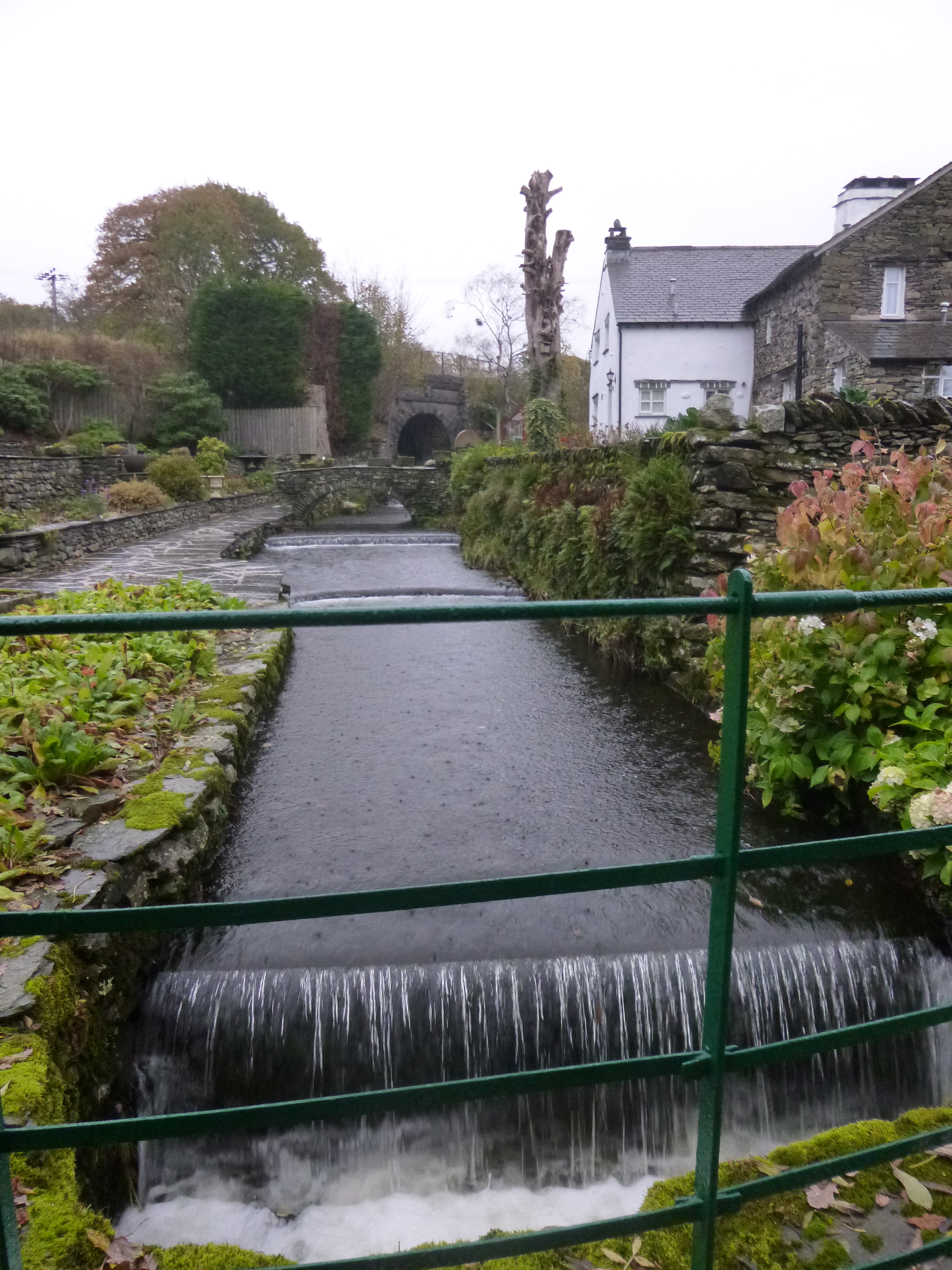
The Mill Race
At Brow Head we turned onto a narrow lane and took refuge in a convenient tractor shed next to the road as the rain came down with a vengeance for about 10 minutes. Suddenly it stopped, and we continued on up a lane then through some fields which were now giving fine but very moody views, especially of Scout Scar in the distance.
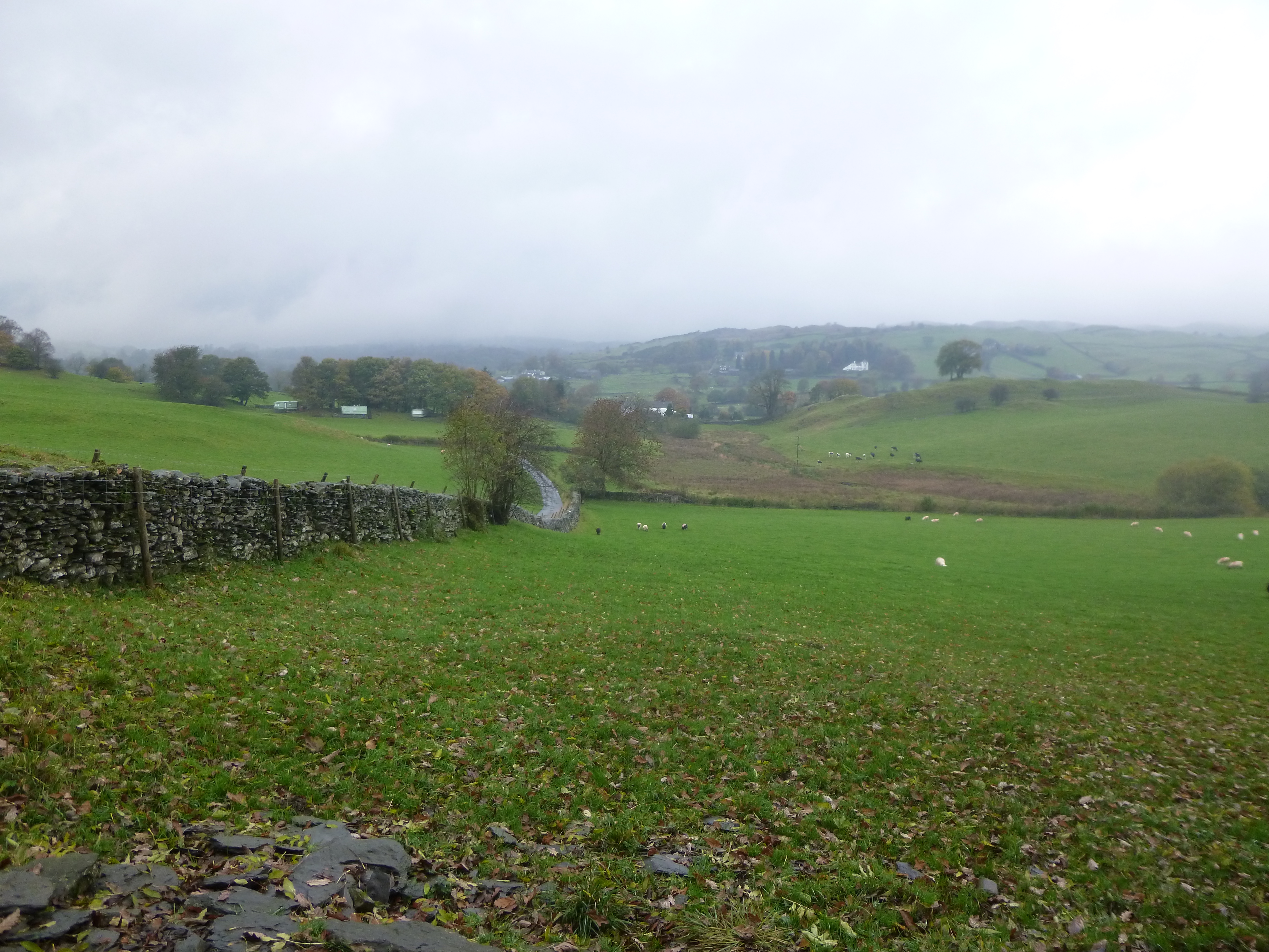
Between showers
This was a lovely little section as we gradually descended towards Underbarrow, the transition from moorland to pastureland a marked one. Once again the rain came down and we were forced to take shelter in another open shed by the path. With no sign of the weather abating we swiftly covered the kilometre or so to the local pub (the Punchbowl) – this time it was open. Fortunately they had a stone floor as we were a tad soggy, pools of water forming under the table we were sitting at!
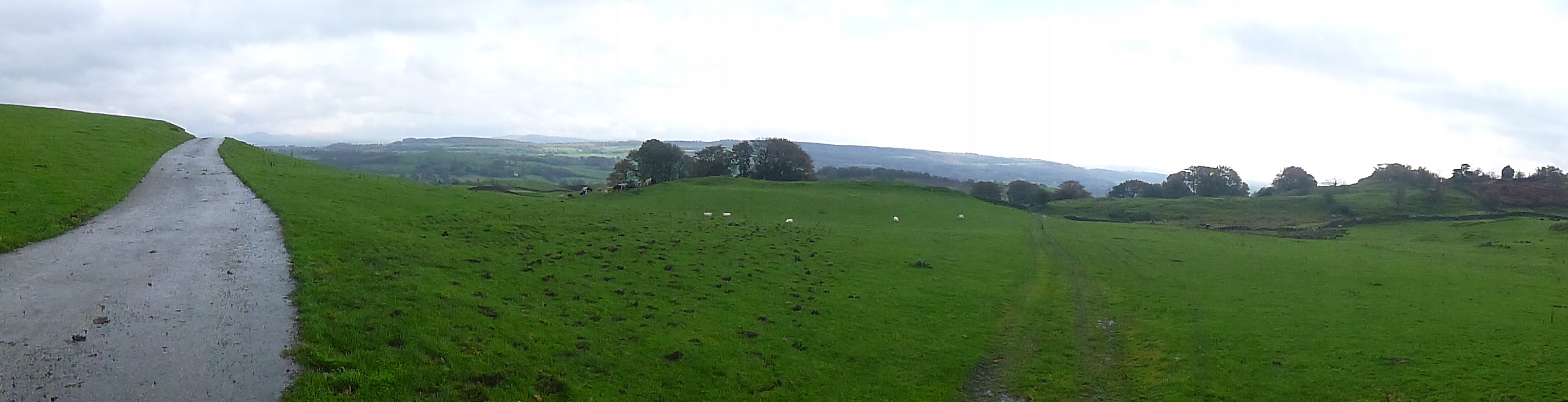
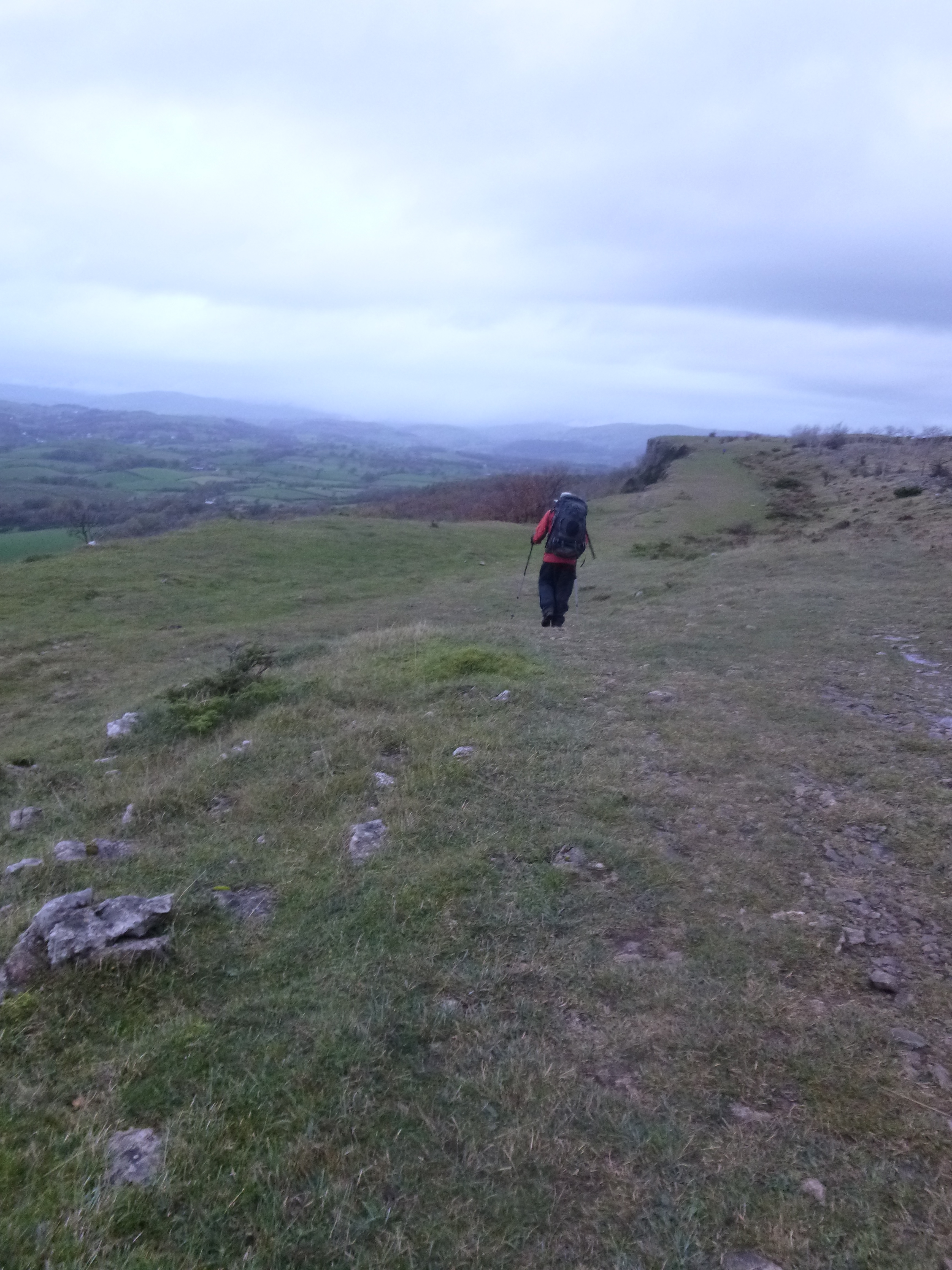
The high point of the day and a first glimpse of Scout Scar
We stayed put until the rain stopped and for a while things started to clear and started our assault on Scout Scar, passing through some lovely estate grounds, including shooting butts, populated by a huge number of Pheasant.
It was a stiff climb up onto the Scar which was nothing short of spectacular. The views were stunning in the now fading light, and the collection of stunted trees and shrubs gave it an otherworldly feel. It was a delight to walk along the Scar, along with a surprising number of dog walkers and runners. We soon turned off and began the walk into Kendal as darkness was falling. Behind us, to round off the day, lightning was flashing but eerily without any thunder.
On the Scar in the fading light
At least it started off like that!
As we crossed the Kendal bypass a huge flash of lightning was followed by a loud bang and accompanying hailstones. Soon the road was like a river and we were crunching through about a half inch of hailstones on the ground and some flash flooding.
Walking along the Scar
We couldn’t help but find the situation funny, after a quite bizarre weather day, finally reaching the hostel in Kendal completely soaked through.
Day Rating 8/10
The day was a walk of three parts. The early part was lovely, the middle section was a little uninteresting and the finale was just superb over Scout Scar. On a balmy summer evening this would be a special place to linger.
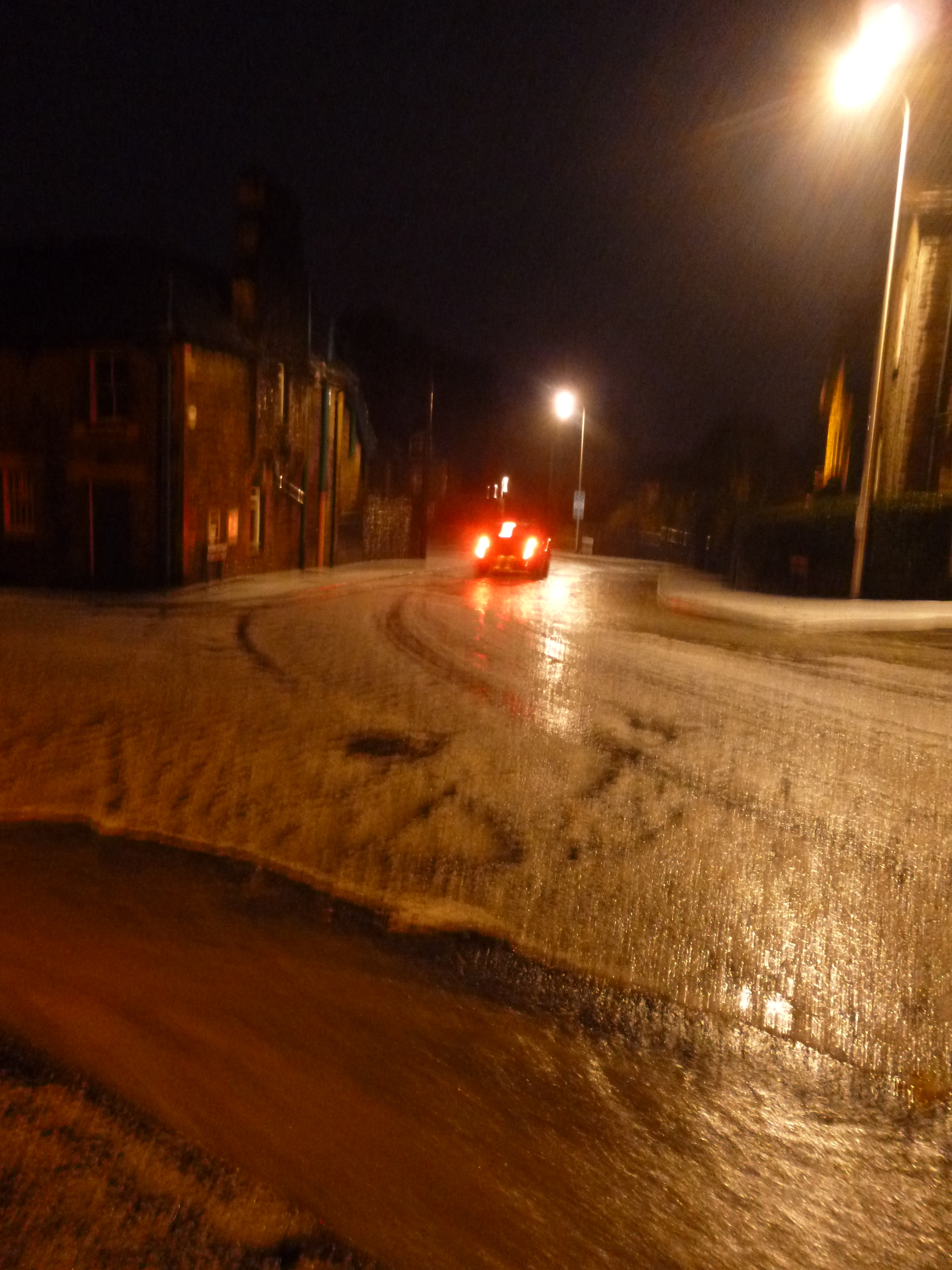
The (rather blurry) hail in Kendal
We spent the night at Kendal Hostel, no longer a YHA but an independent. The building has bags of character but has certainly seen better days. In fact, the place was a little bit of a mess. Still, we made up for it with a few decent pints in the Wetherspoons round the corner. Cracking day!


You must be logged in to post a comment.