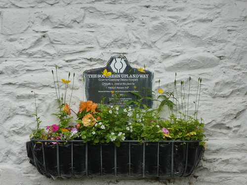
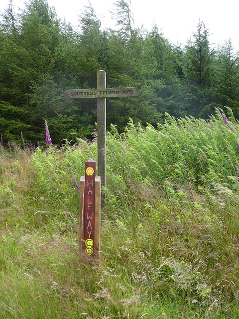
Southern Upland Way 16
Lonformacus to Cockburnspath – 18 miles

The final day! I had mixed emotions about this, but I was glad to be finishing. It had been a comfortable evening in the B&B, and quite honestly, after the weather the previous day I would have struggled had I been in the tent.

They had a very nice lounge for guests and after having a cup of tea I sat and read for a while, while making use of my dwindling supplies of food. As a matter of routine I charged my phone and the camera, the latter making quite an alarming “popping” noise as I reviewed the photos I’d taken during the days walking.

It wasn’t long before I went to bed after taking a long shower and it would be safe to say that I slept like a log, glad to be in a proper bed. At breakfast I had a good chat with the owner, and it turns out they had fallen in to running a B&B after the previous one closed, leaving no accommodation in the village. It’s a pity, as it is a lovely little place, not too far from Duns or Edinburgh for that matter, and perfectly placed to explore the Berwickshire. Still, I had a walk to finish, and I estimated that I would reach the finish about six in the evening.
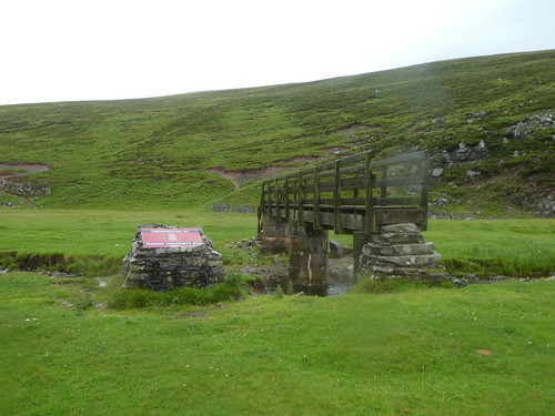
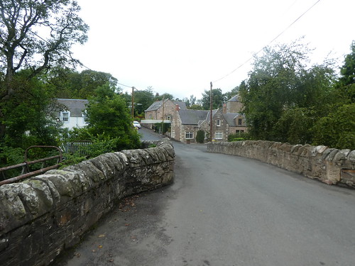
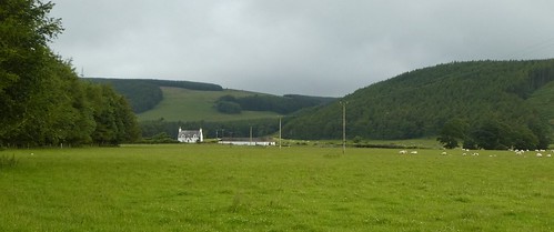
It was at least dry as I left the B&B, only a hundred metres or so from the path, crossed the bridge and had a look in the SUW information shelter. There was a guy wandering around who apparently had been on a night out in Berwick and had suddenly found himself dumped in Longformacus. I honestly had no idea what had happened to him, and he seemed to think I could help him some way. There was no phone signal, and I didn’t have any cash on me. “I’ve walked here from Duns,” he said. “I’ve just walked here from Stranraer,” I replied. I did suggest that he accompany me to Cockburnspath, but I don’t think that went down too well. I suggested that he knock on someones door and ask them for a lift back to Duns, where he might be able to get a bus. The demon drink!
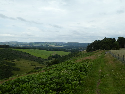
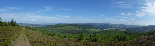
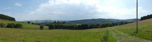
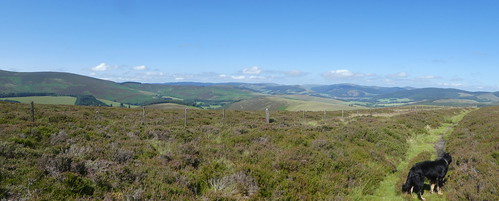
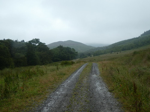
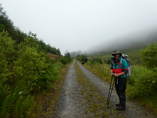
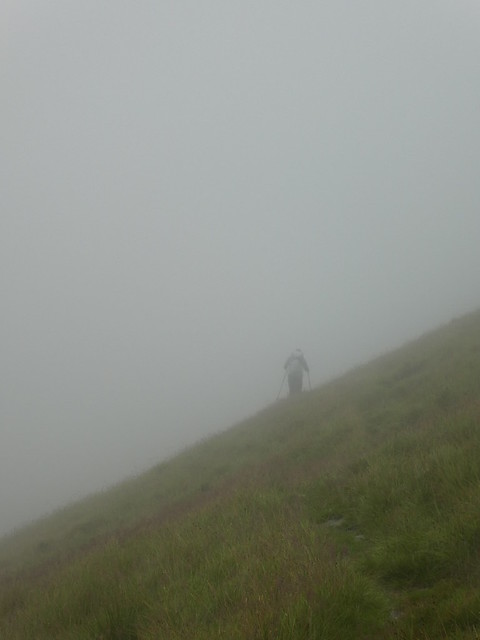
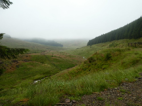
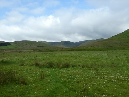
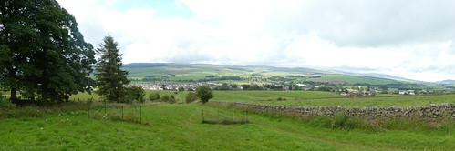
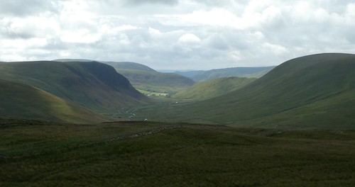
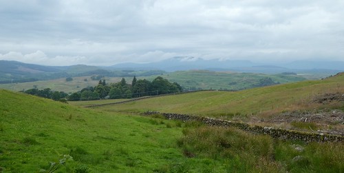
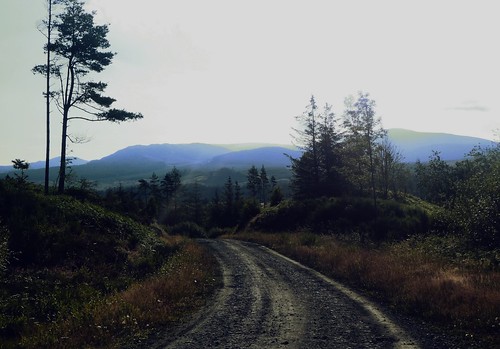
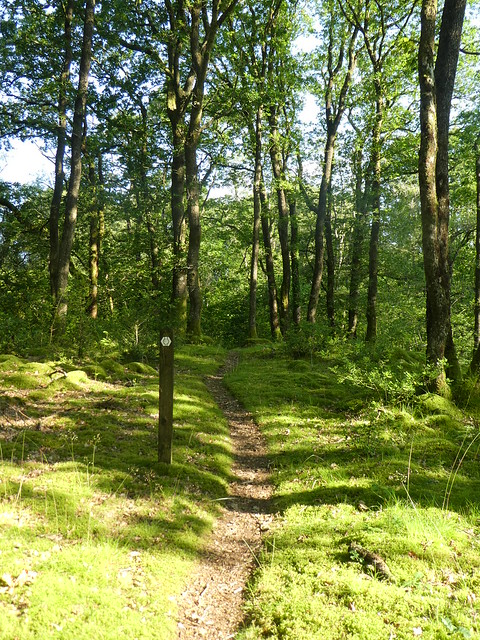
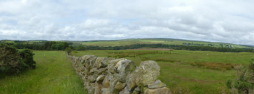
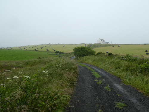
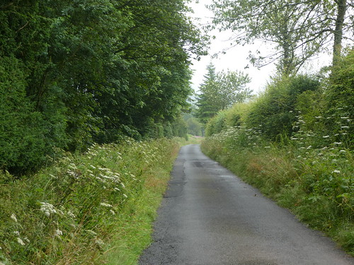
After that slightly bizarre delay, I left the village. It was a couple of kilometres of a road walk to warm up, before heading up onto the hill towards Commonside. I plodded up the hill, pausing to look back at the fine views. The sky was a dampner, though. Heavy low black clouds gathering behind me. The first spots of rain started pattering down, and continued to get heavier. It looked as if my final day was going to mirror my first day, weather wise at least.
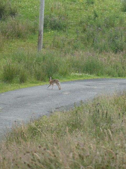
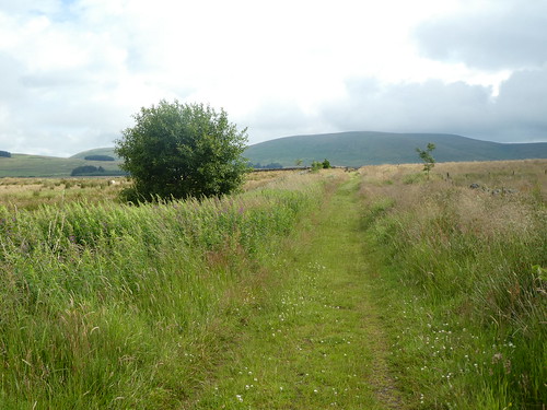
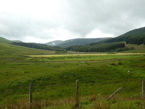
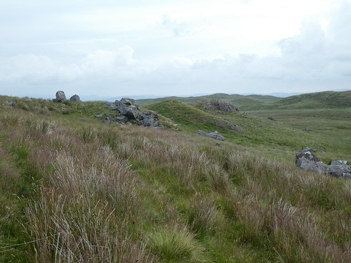
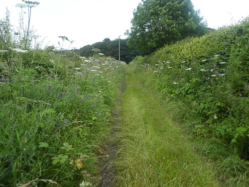
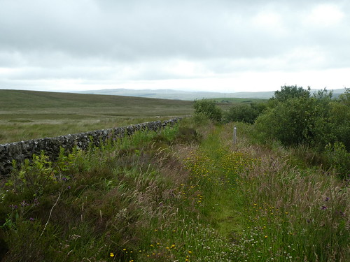
The land here was rough pasture, and the ground covered in soft rush, the hard reedy grass that likes wet areas. There was a track of sorts, but it was overgrown and looked like it was seldom used. Walking through it soaked my legs and feet, and there was worse to come as I passed through a gate next to a plantation. The rain was really coming down, and I had just passed into a field with no visible track and grass that in places came up to my chest. I was soaked and thoroughly miserable. I had to keep referencing the map here too, and I ended up walking alongside a hedgerow for a bit of shelter and to keep out the grass.
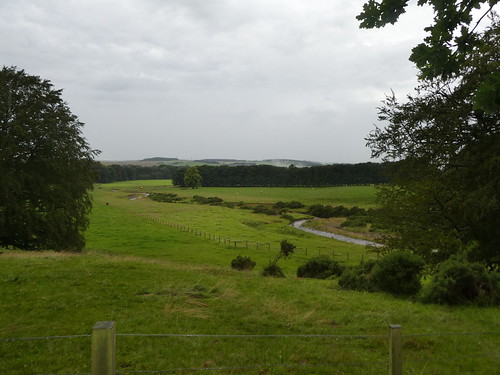
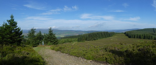
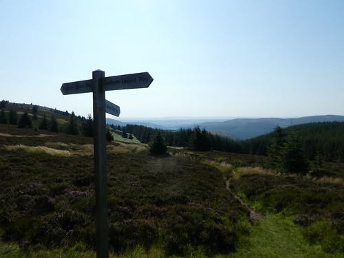
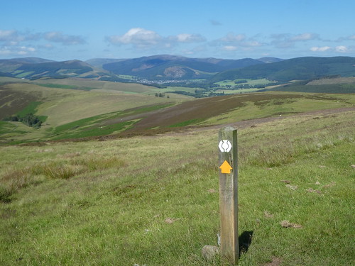
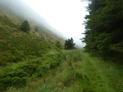
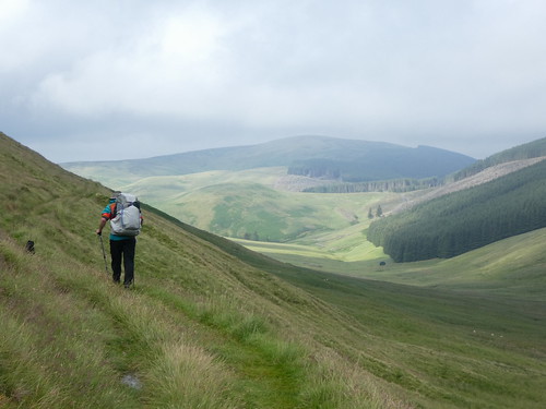
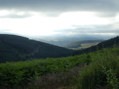
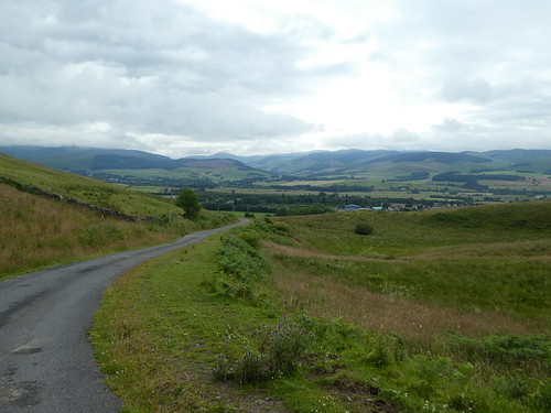
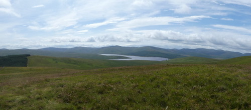
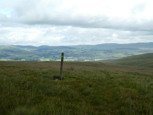
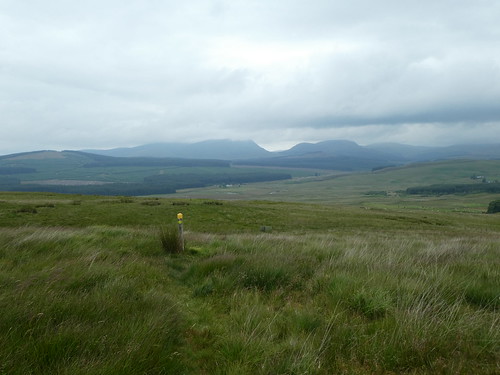
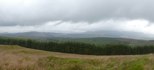
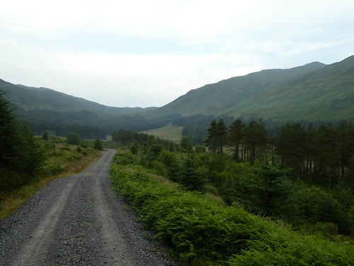
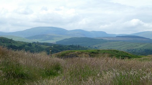
At one point a sign post directed me to a viewpoint. With the cloud low and the rain hammering down, there was no point in even contemplating it and I plodded on. It was a pity really, as the scenery, or what I could see of it at least was very good. Thank god this was the last day! It was with some relief that the path became track, and started to descend, first through fields, then through a plantation to a road. The bad news was that after a quick dogleg on the road, I would be going uphill again. Steeply. This at least was on a track. This took me to the edge of another plantation, and thankfully the path skirted it rather than went through. On another day this would have been fine walking. It’s amazing how much the weather can impact your experience.
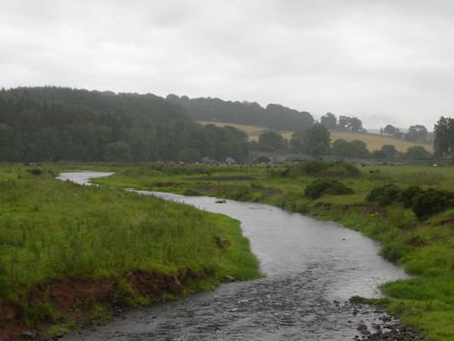
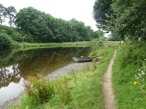
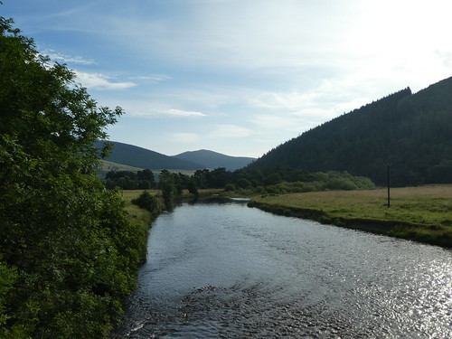
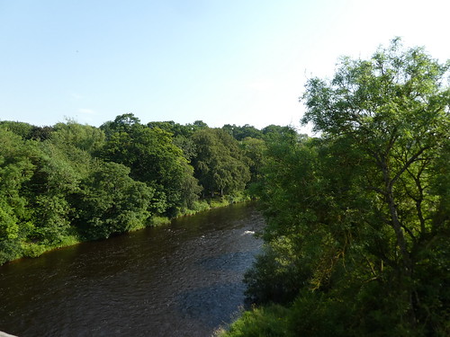
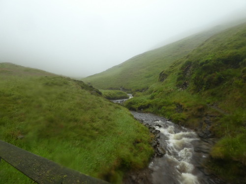
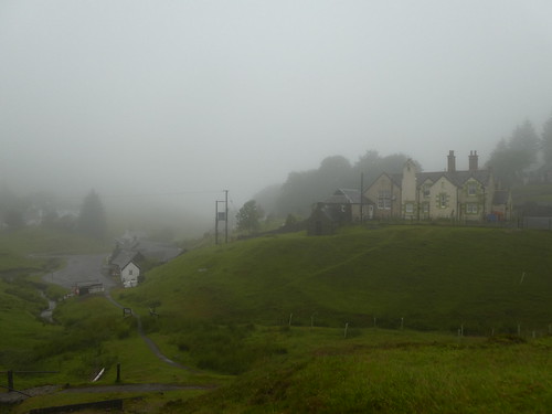
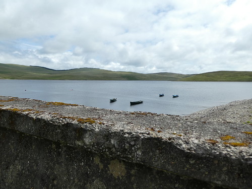
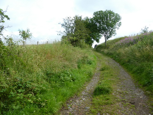
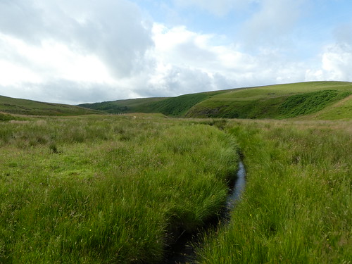
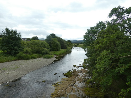
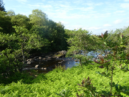
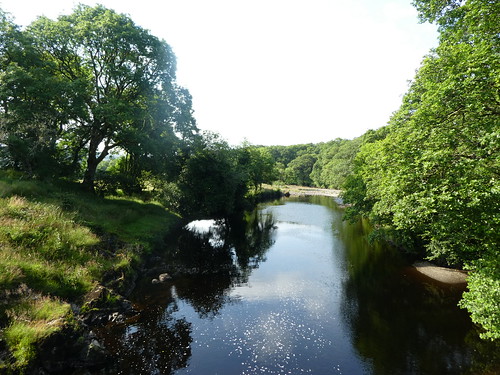
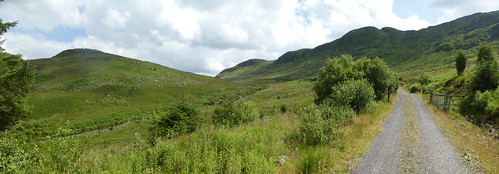
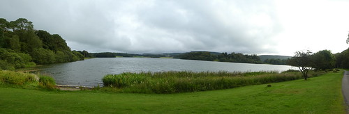
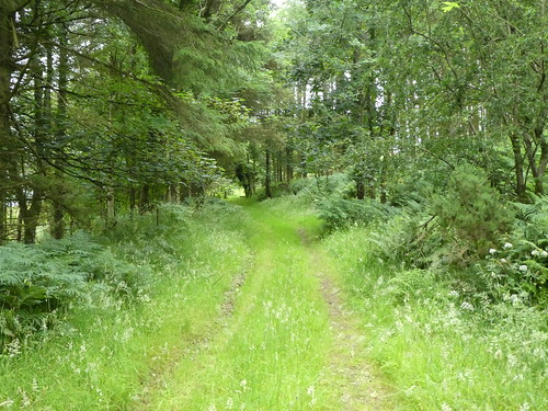
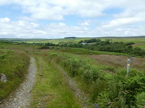
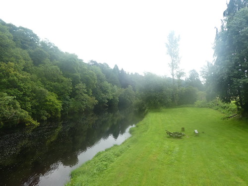
I eventually landed on a forest track which would take me all the way to Abbey St Bathens. For a time at least it provided a little protection from the rain as I splashed onward. The one saving grace was that it was relatively flat and easy going, eventually descending slowly to run alongside the wonderfully named Whiteadder Water. Eventually I reached the village and for a few minutes took shelter in an old phone box, just pleased to be getting out the rain for a bit. The phone itself had long gone, and the box had been turned into a kind of community information exchange. Surprisingly, not long after I arrived the rain stopped.
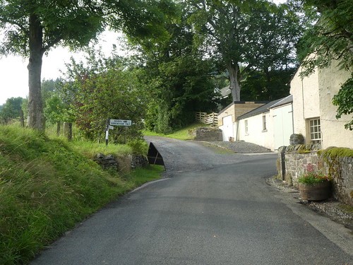
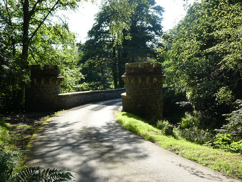
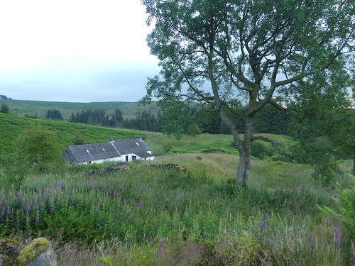
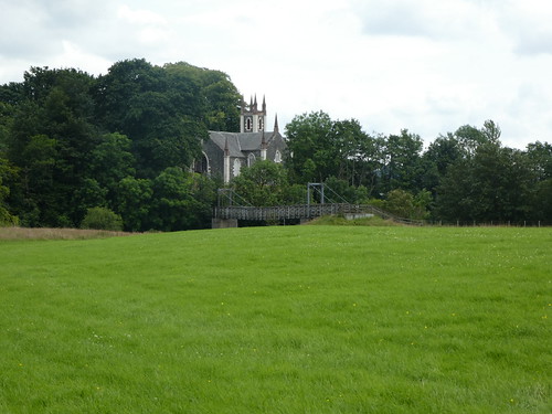
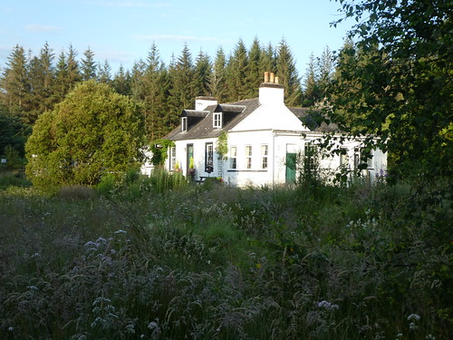
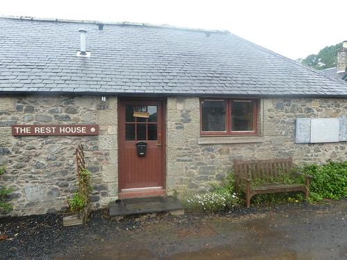
The village is another lovely place and there was even a hostel here at one point called “The Rest House”, long closed now, just like all the others. It is a sign of the times, but at one point there were 5 hostels covering the route, all long since gone. I took a few photos of the place and crossed the bridge by the church, a realignment of the route which takes the trail along the river rather than the road. Here my camera died, and refused to work any more, the trail had well and truly killed it! I have to say that I had a lot of sympathy for it.
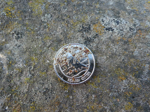
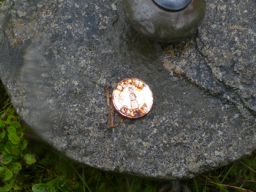
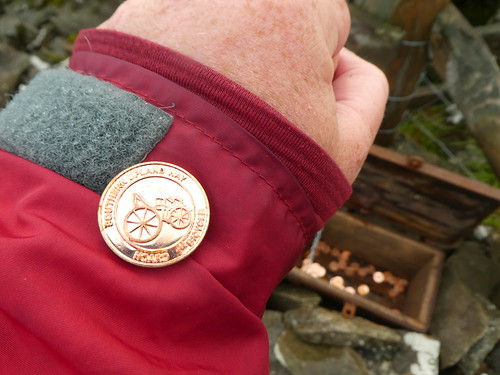
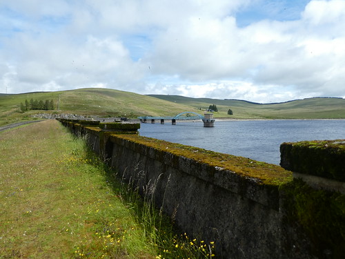
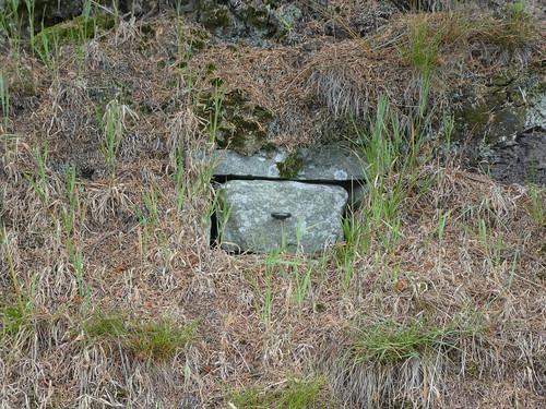
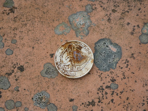
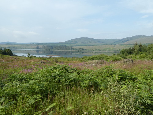
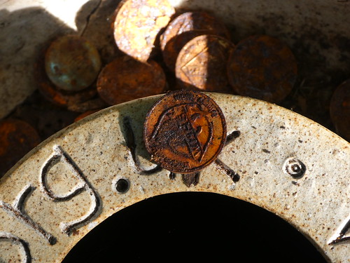
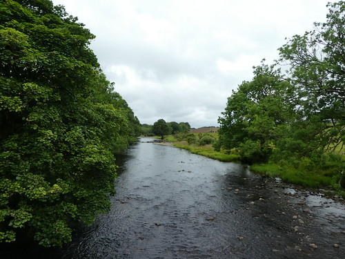
Crossing the Whiteadder Water was one of several places that marked my progress towards the finish. There was around 11 miles left to walk from here, the rain had stopped and miracle of miracles, the sun had come out. This was actually a lovely section, following the Whare Burn from where it joined the Whiteadder alon a farm track. Along this stretch I found the final kist, and took my reward. On the trail I had missed four of them. The two in the east I would return and find later, the two in the west could remain hidden. Not a bad haul, 11 out of the 13 coins.
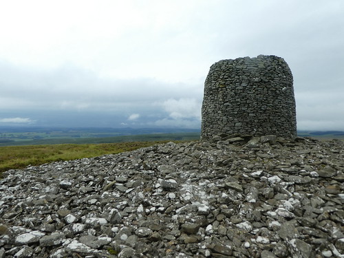
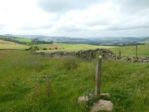
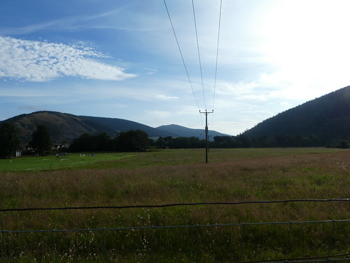
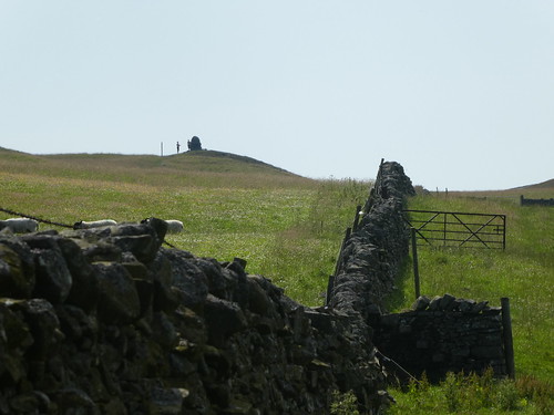
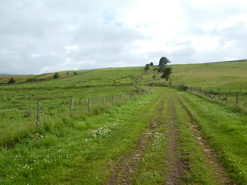
Having crossed the Whiteadder there was a noticeable change in the character of the route. This was more typical lowland walking through fields and around farmsteads. I passed a huge cairn with a weather vane on top, a memorial to the airfield that was located there during the first world war. With the change in the weather my mood had improved, though it felt like I was travelling at a snails pace. The small hamlet of Blackburn sat at the top of a hill, and a couple of benches had been placed up against a wall. I took the sack off and rested for half an hour, just pleased to get the weight off my feet.
From here it was a road walk to the next check point, all downhill to the A1. This really was a watershed moment, and I felt that once across this I really was on the home stretch. The crossing point comes at the end of a section of dual carriageway and with a terrible sightline in both directions. It must have taken a good ten minutes before I got a big enough break in the traffic to be able to get across. Quite honestly it was the most stressful experience of the whole walk! Once across, the route followed an abandoned bit of road, before crossing the East Coast Main Line, thankfully by way of a bridge.
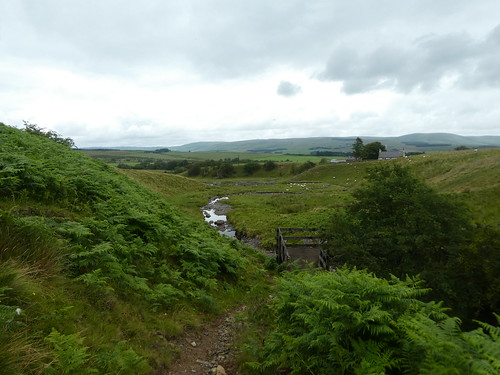
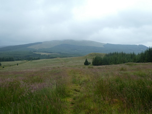
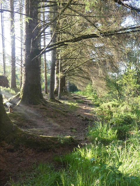
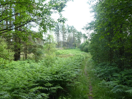
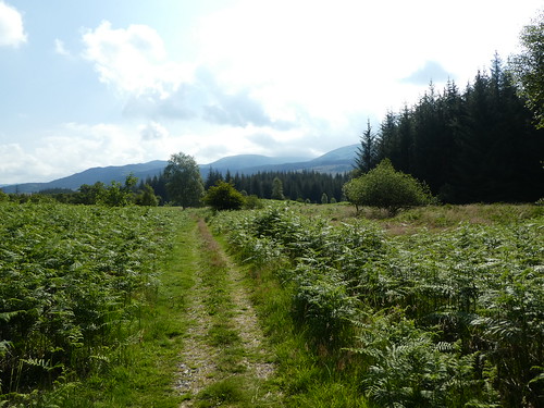
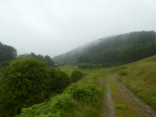
For a while the sound of the road and the occasional train lingered as I walked through some quite lovely native woodland. It didn’t last, and it rapidly turned into another conifer plantation, mercifully the last one I would encounter on the trail. The route also inexplicably climbed through the plantation, only to drop back down to emerge at a road around 400 metres away from where it had started to climb. There was a typical SUW bench up here, meaning at one point there must have been a view, but it had long since been blocked by the conifers. I could have saved myself the bother and about a mile of uphill walking.
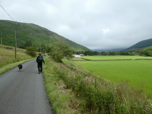
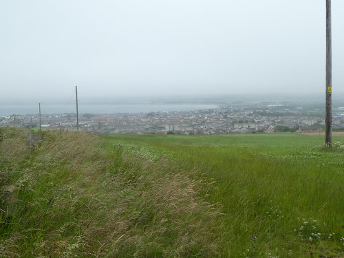
I crossed the road and finally met my father who had come down to pick me up. I’d phoned earlier and he had set off towards me from Cockburnspath once he’d arrived there. I’d managed to dry out pretty well since the rain had stopped, but now I entered Pease Dean nature reserve, and once again I was walking through places with thick vegetation. Annoyingly I was getting wet again. Still the reserve was lovely, and following its busy path eventually led past the entrance to the large holiday park on the coast. It was getting late, and we stopped there to get something to eat in the bar. It was a good chance for a rest, even though I was no more than a couple of kilometres from the end.
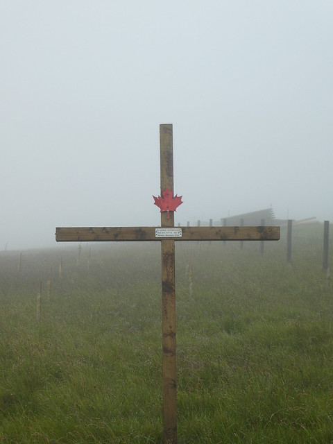
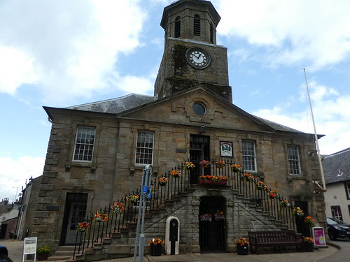
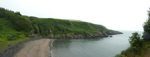
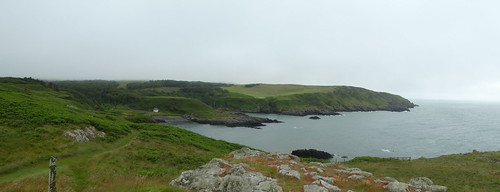
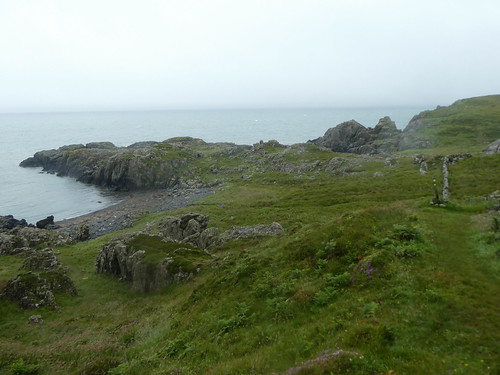
Eventually we moved, walking up onto the cliff top path, and the realisation that I had walked coast to coast. It’s another spectacular piece of coastline, but there was no real time or inclination to linger. Oddly, the last section turns west so you end the route by walking back towards Portpatrick, back under the railway and the A1. As is always the way the anti-climax of the finish is something of a surprise. I passed the final information shelter, and walked slowly up the hill to the mercat cross in Cockburnspath. I took off the pack and just sat, the journey complete. I was, in a word, knackered.
Day Rating 8/10

It’s hard to put into words how I feel about this trail, and writing almost a year after I walked it has given me time for some perspective. It is tough, and challenging and was a definite step up in the backpacking stakes from what I have done previously, not just in length.
There are so many long remote sections on the trail that there has to be a degree of self sufficiency. Using the bothies, tent and B&B’s was a good mix, although it did mean I was packing heavier than I would like.

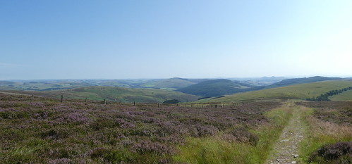
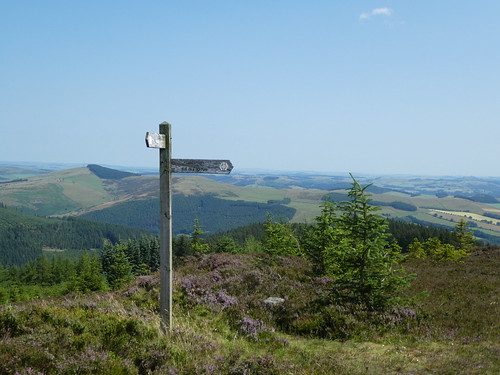
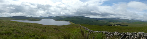
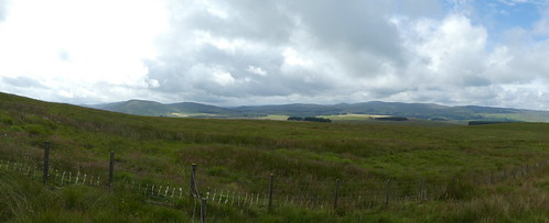
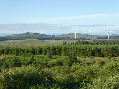
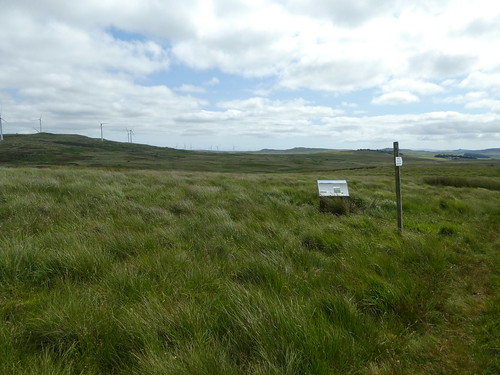
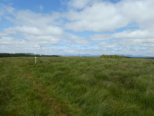
There is so much commercial forestry in the South of Scotland. Until you actually walk through it, it is difficult to realise how much there actually is. There has been much debate over the building of wind farms, something that is happening right across the Southern Uplands. In all honesty, for me they have less of an impact on the landscape than the commercial forestry does. Native woodland was notable by its absence, and that is a very sad thing. When I did experience it, it was delightful.

Having read all that you may be forgiven for thinking I disliked the trail. Far from it. While my day ratings are purely personal opinion, apart from one or two long trudges through forest the trail was spectacular. The variety of landscape, and the places it visited, town, villages and the hills it passed over, makes this a very special trail. It is also incredibly quiet, if you are a solo walker, don’t expect to have many people to talk to over the course of your 214 miles!
I try not to take weather into account, or conditions under foot. My wet feet were my own fault entirely, and I had to live with the consequences of that! The Southern Uplands are notoriously boggy and damp places, even in summer (as I think I managed to successfully prove on more than one occasion), but they are also an incredible landscape to travel through.
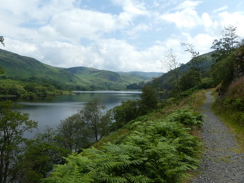
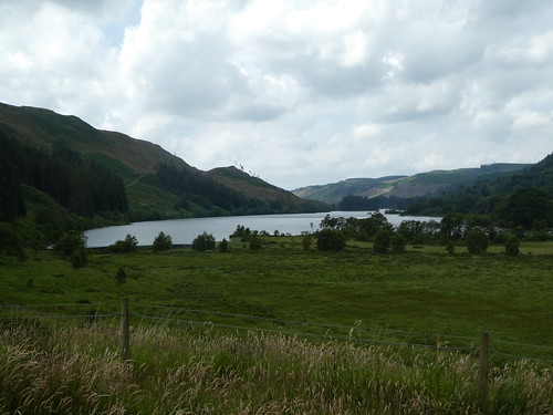
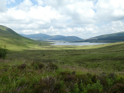
For me, the highlights of Loch Trool, Ettrick, St Mary’s Loch and the Minch Moor Road will live with me forever, as well as the fantastic treasure hunt. I will treasure my hard won hoard with pride!