The Westmorland Way 7
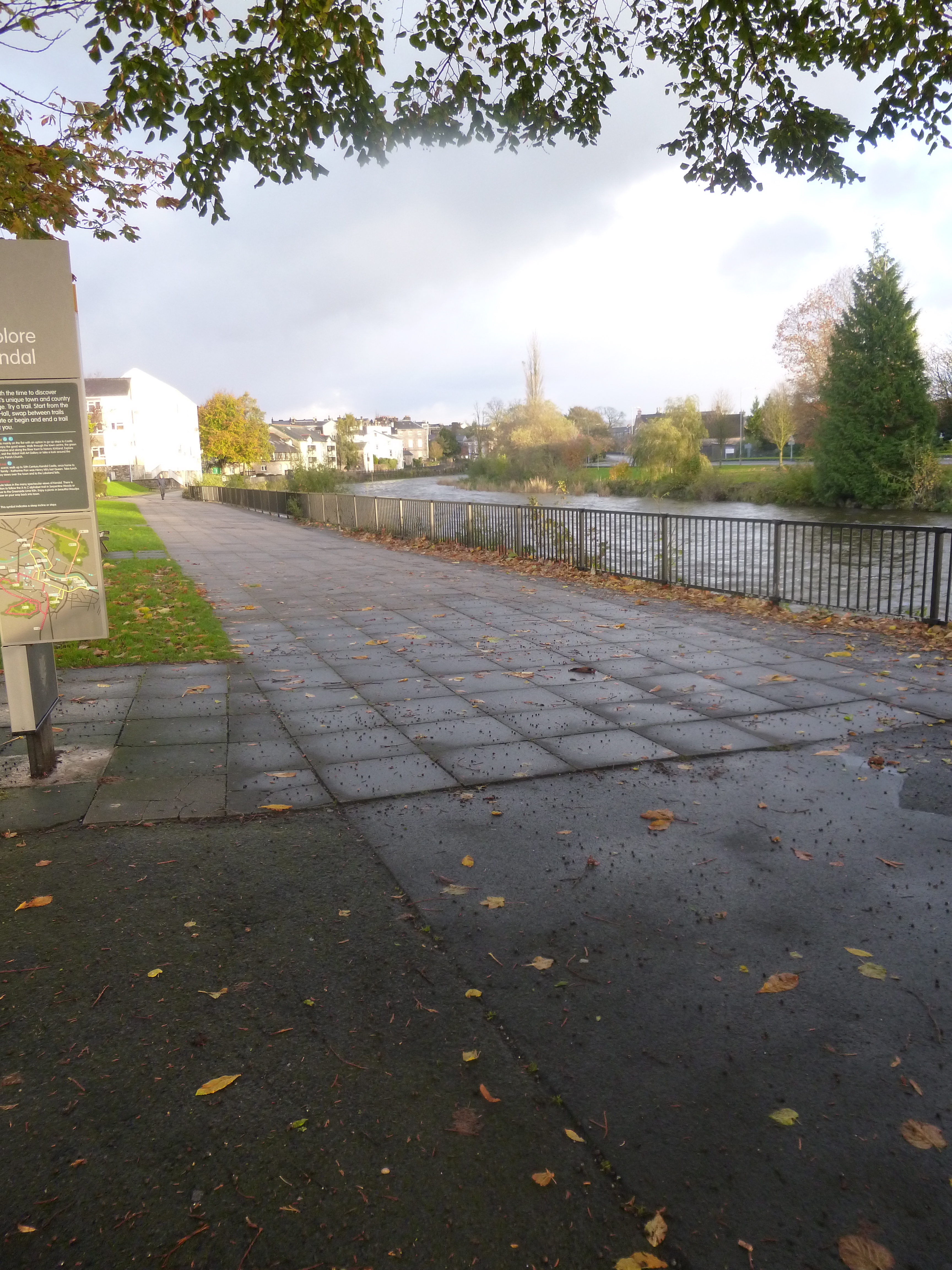
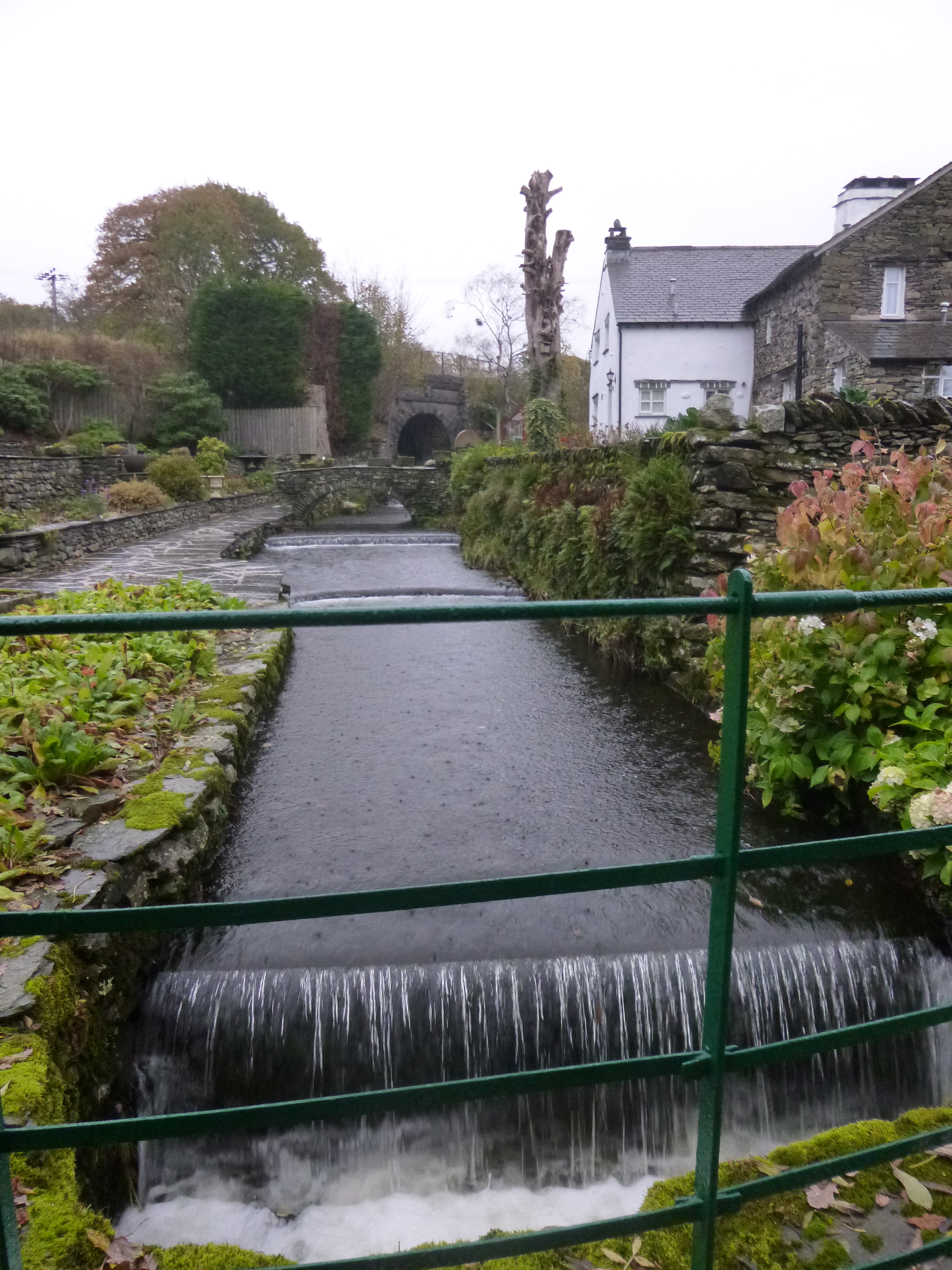
By the River Kent in Kendal
Kendal to Arnside (17 miles)
This was our longest day on the Westmorland Way, more by necessity than anything else. Most of the day was to be flat, as for much of it we would be walking along the old Lancaster Canal.
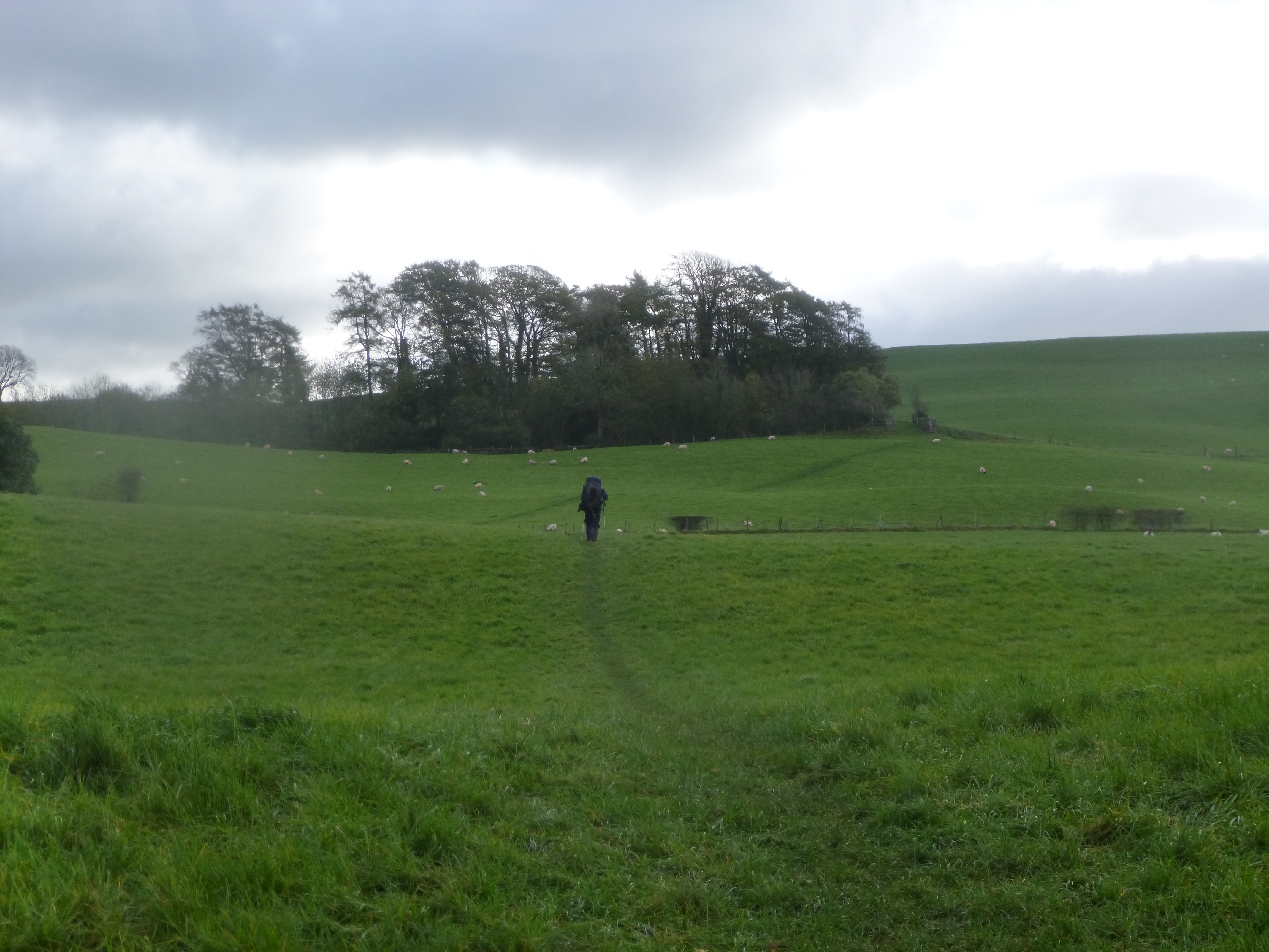
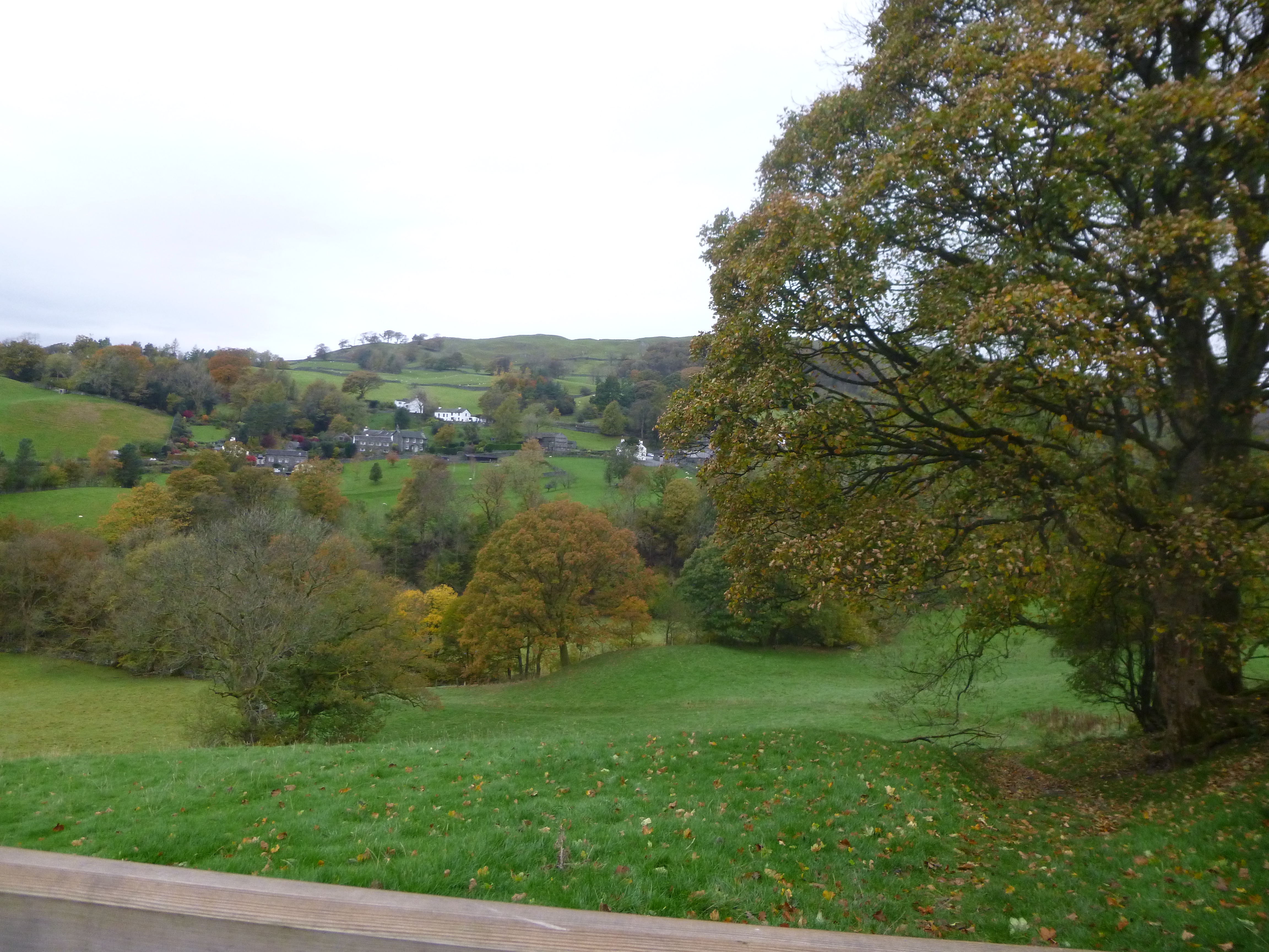
Leaving the town behind
It was a later start than we intended, meaning that we would be pushed for light towards the end of the day. We wandered down to the River Kent, and despite the cold, grey morning (at least it was dry), it was a pleasant enough walk out of the town. Just before we turned down a lane past a shoe factory, the way briefly touched the canal, or certainly what was the canal. It more resembled a railway track bed than an old waterway as this section had been in filled. More about the canal later…
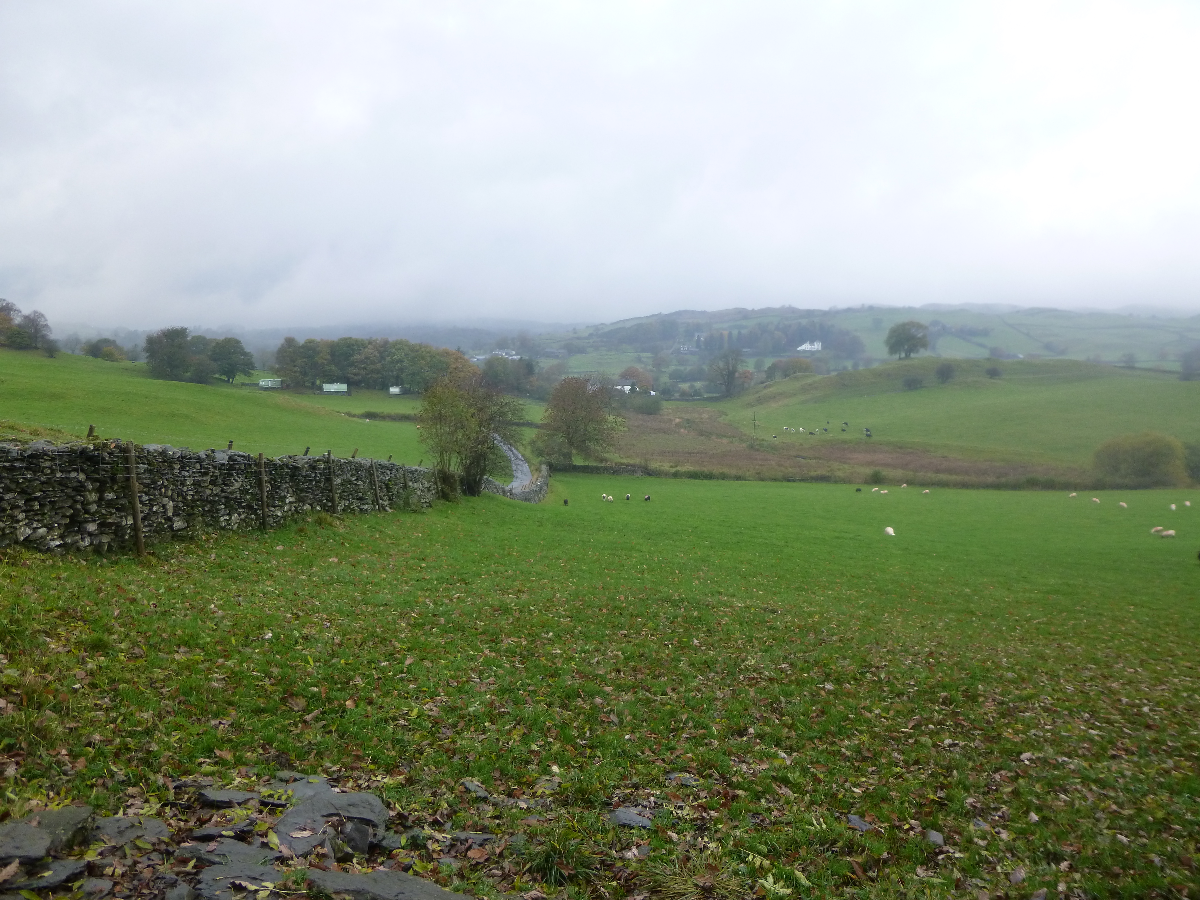
Looking back towards Kendal
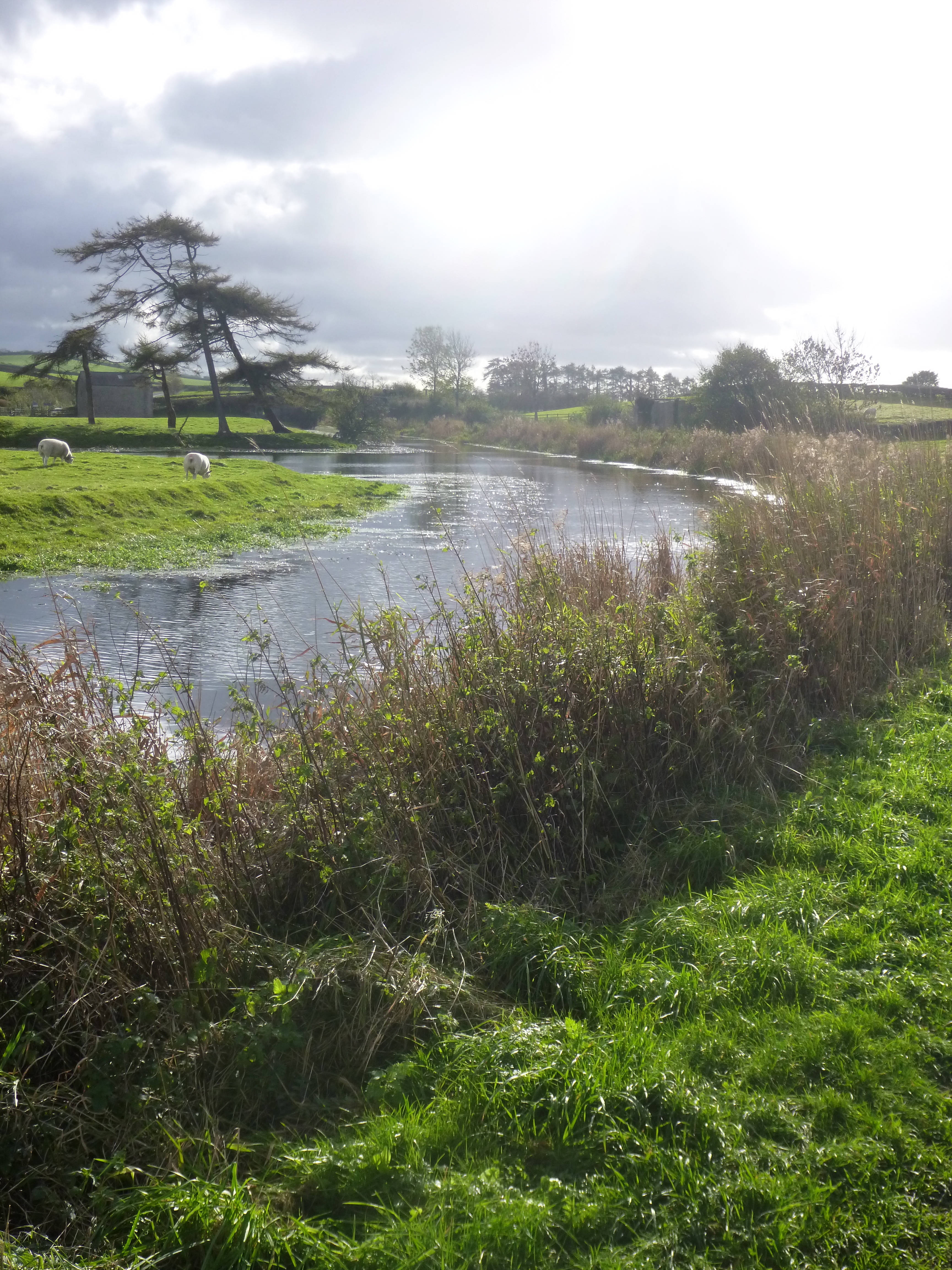
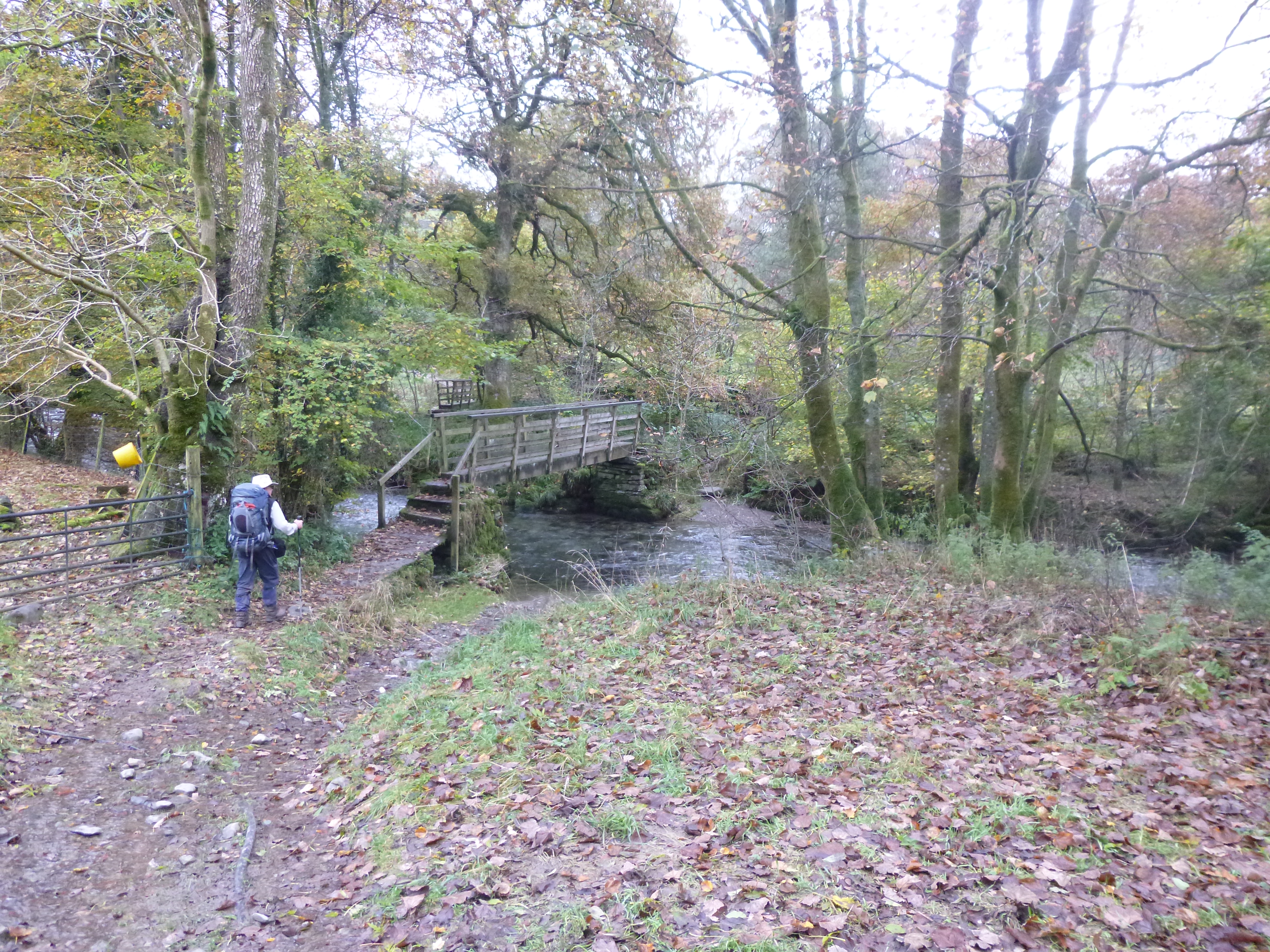
The path dropped back down to the River Kent and, once again, we were treated to a delightful riverside walk. Even on a gloomy morning this was a pleasure to walk, leaving me dreaming of what it would be like on a balmy summers day. The only annoyance came where the path crossed a minor road. The gate to the fishermen’s carpark was locked. The only access was a tiny gap between the gate and an overhanging tree, making progress with a large backpack impossible. In the end, rather than taking the pack off and throwing it over, it was quicker just to climb the gate.
Sedgwick House
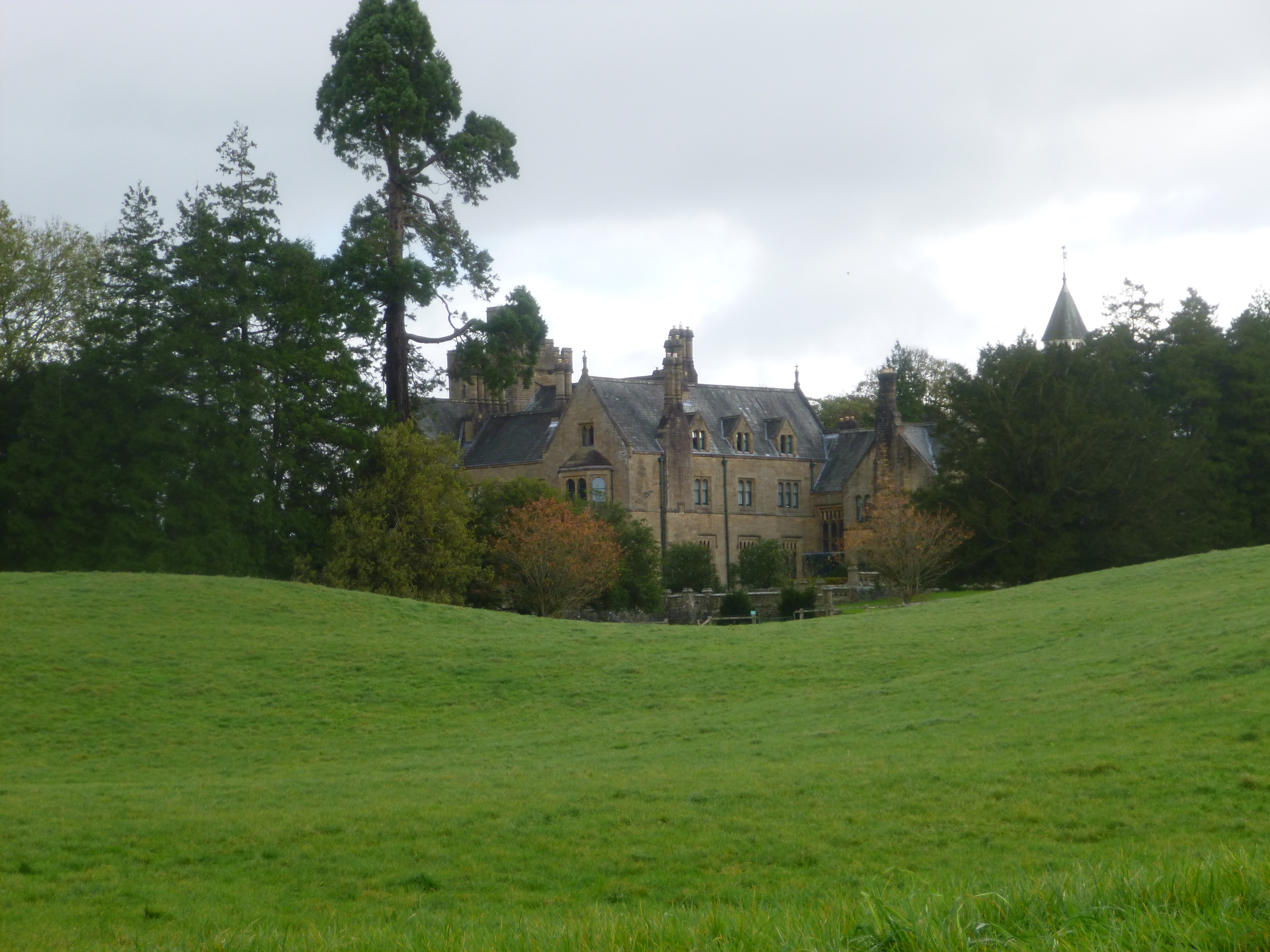
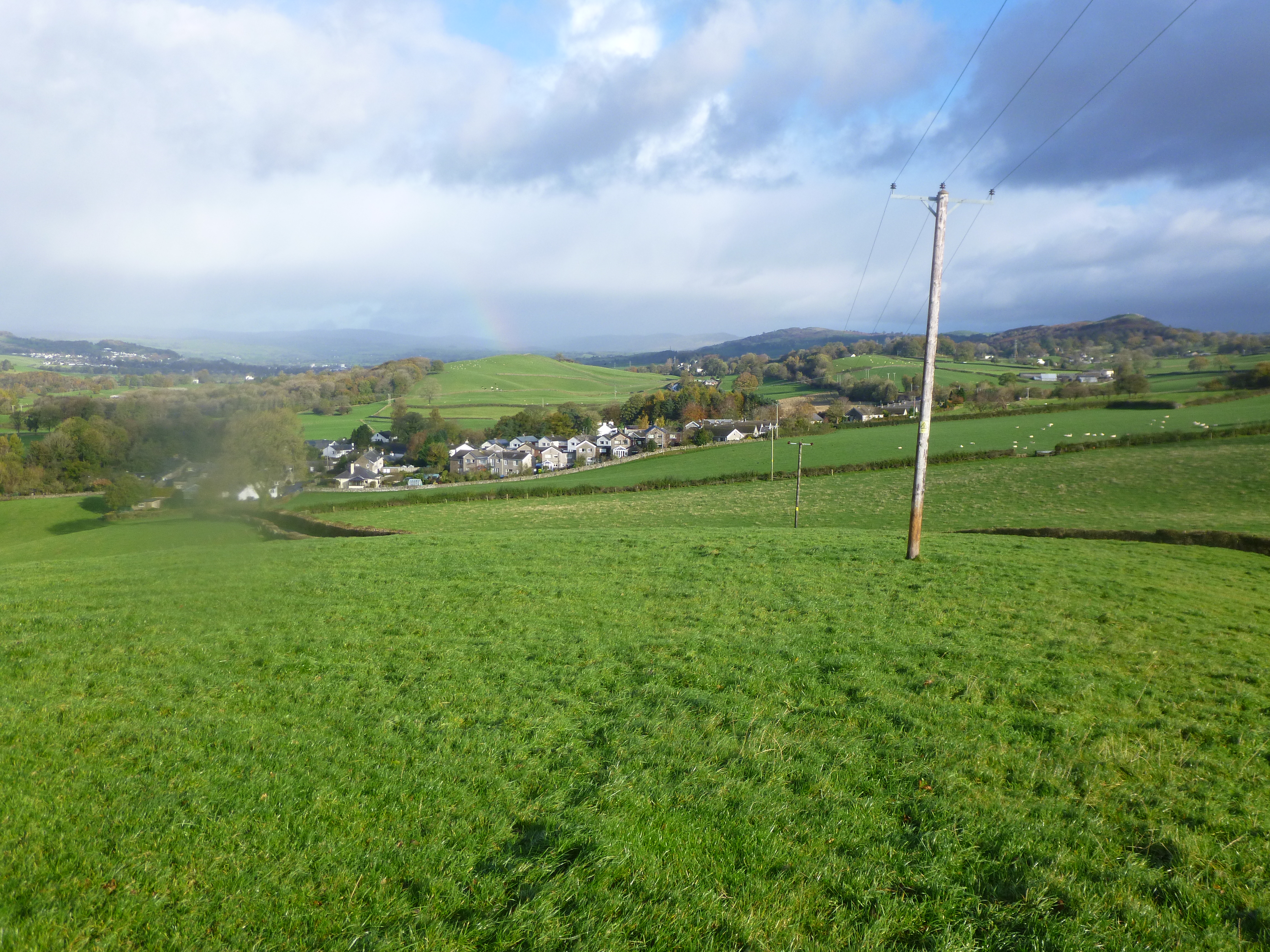
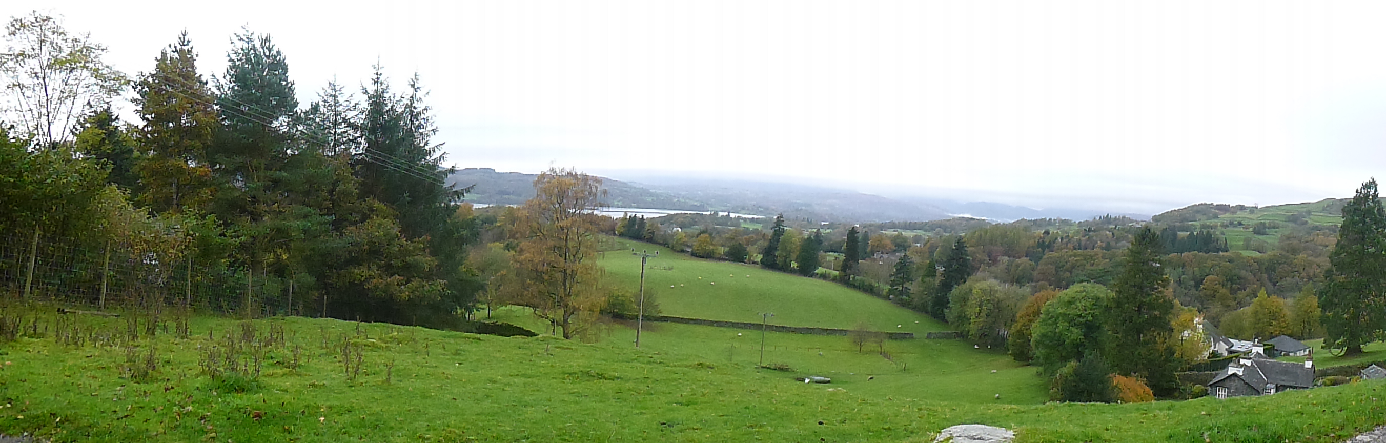
Eventually we emerged at a bridge just below the impressive Sedgewick House, where our route left the river. There was a little climbing here, up towards the West Coast Main Line. First we crossed the canal by way of a completely redundant bridge, a rather odd and sad sight over the in filled canal. Soon there were fine views north, back over Kendal, complete with patches of blue sky, rainbow, and in the near distance, rain.
Climbing to cross the dry canal
We were lucky though as the wet stuff passed us by, and gradually the sun was attempting to make an appearance at the crossing of the railway (by way of a new footbridge).
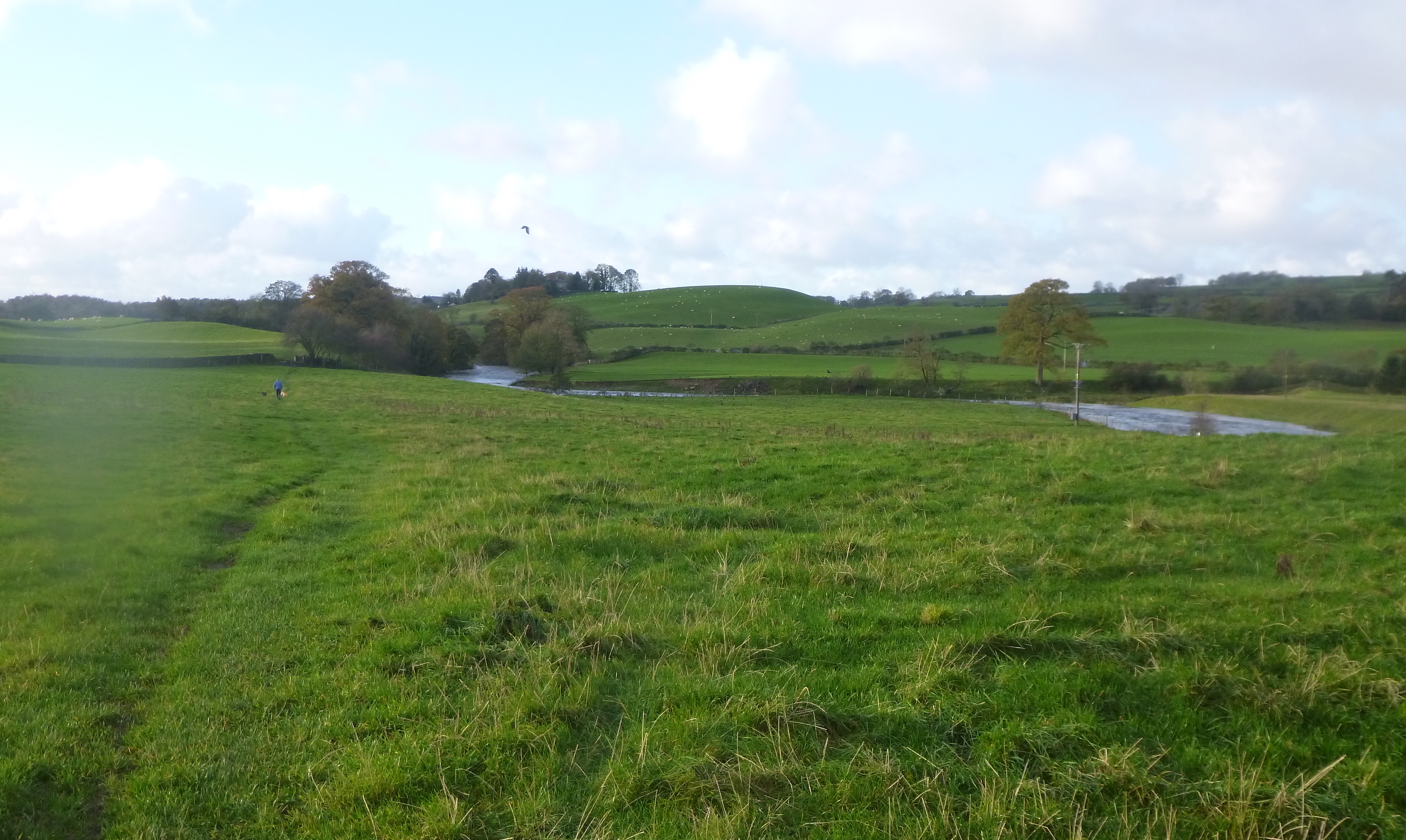
A few fields later we were back with the canal, this time for quite a distance down to Greystone, around 7 or 8 km away. The canal here had not been filled in, and once again this was really enjoyable walking – not to mention that it was a complete contrast to anything else on the route. We could have been forgiven for thinking that this would have been easier going, but the grassy towpath was wet, muddy and slick making things surprisingly tiring. It was with great delight then, that a pub appeared at Crooklands, the temptation too strong to miss.
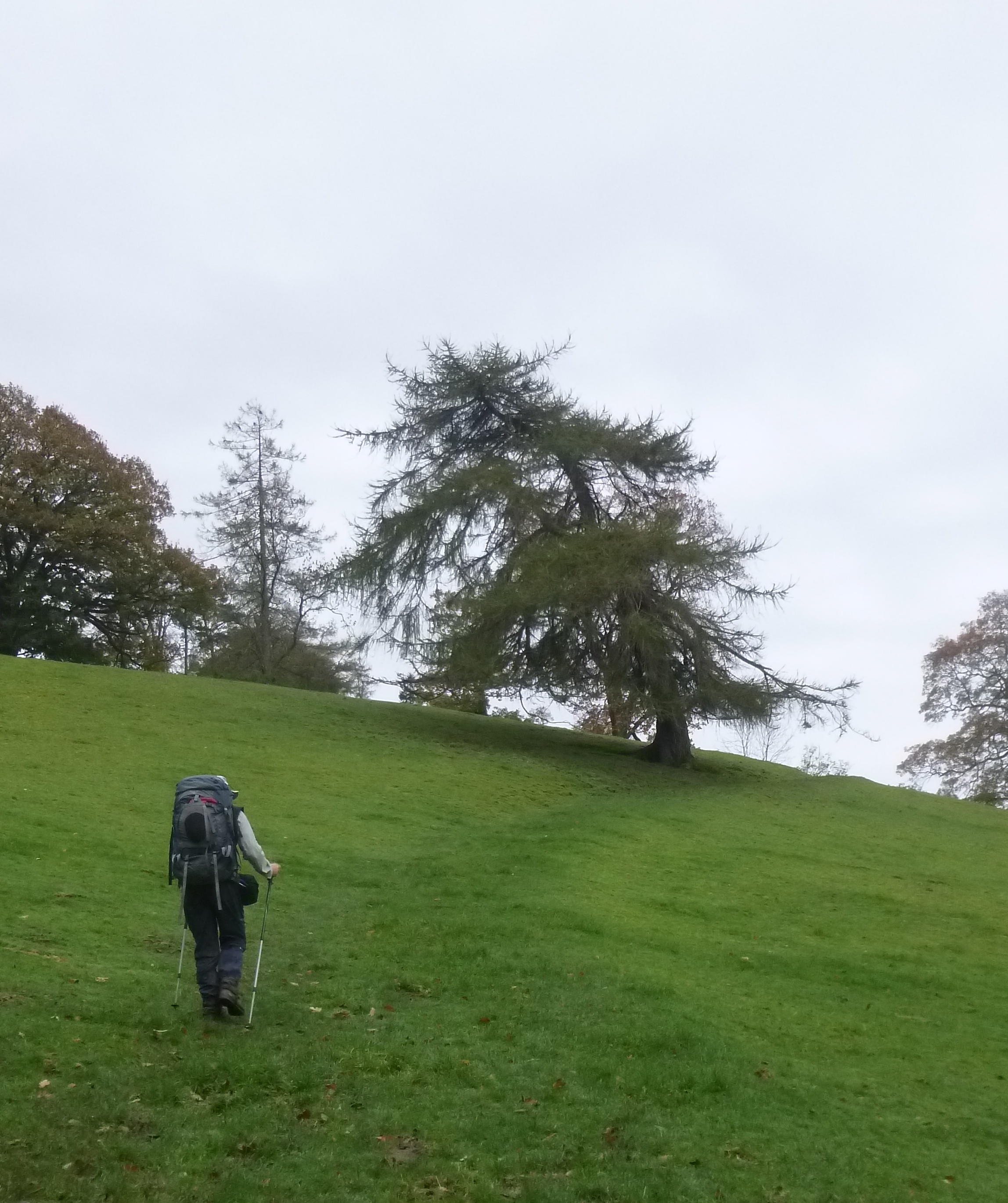
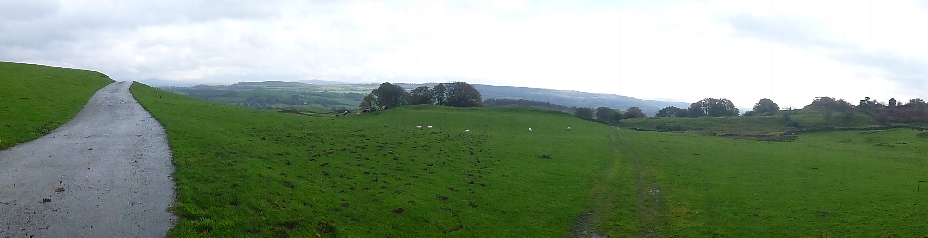
At the top – looking towards Kendal
The rain came down for a while as we lingered a little too long in the pub before setting off again. From here the act of 1960’s vandalism becomes all too obvious. Not only had the northern reaches of the canal been filled in from Kendal, but here the canal had been blocked off no less than three times. Twice by the M6 and once by the A65. Really, would it have cost that much more to install tunnels instead of culverts? Apparently there were strenuous objections at the time, but as with many developments from that era, the projects were pressed ahead regardless. It is a real pity as this section of canal was quite simply one of the prettiest. As an aside, the great hulk that is Farleton Knott was looming over us – a familiar sight and shape to anyone who has regularly travelled on the M6.
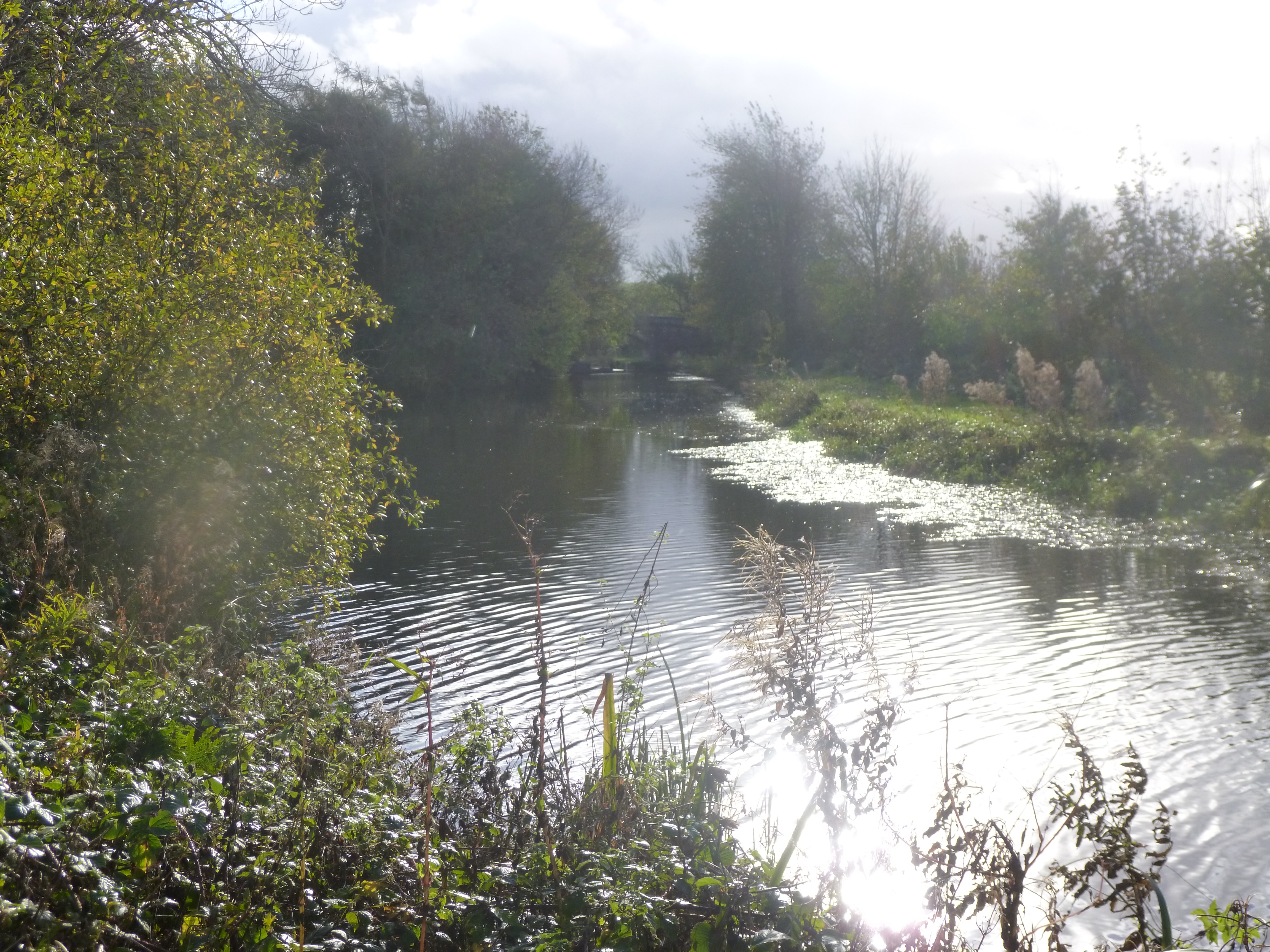
First sight of the canal – this time with water in it
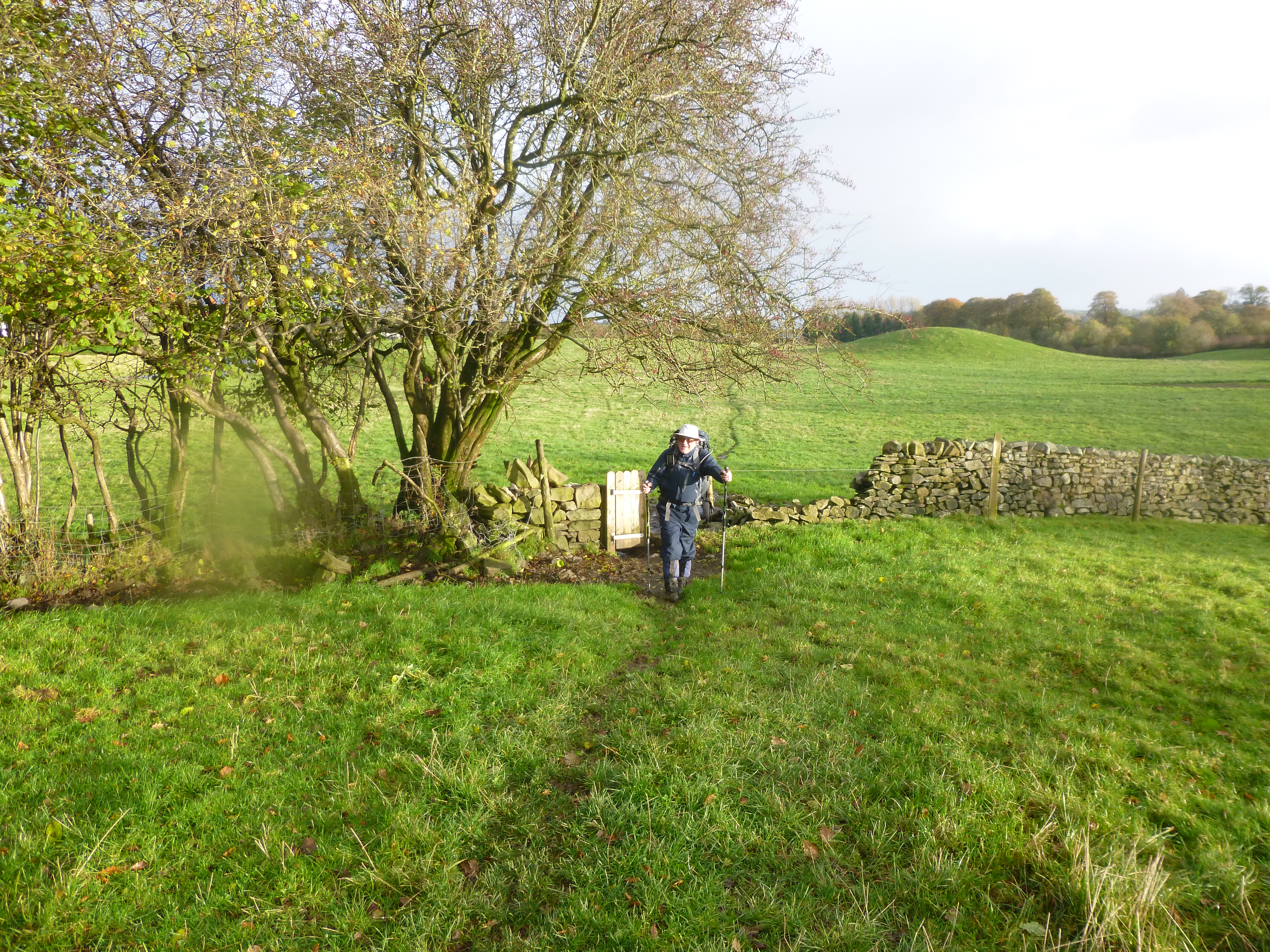
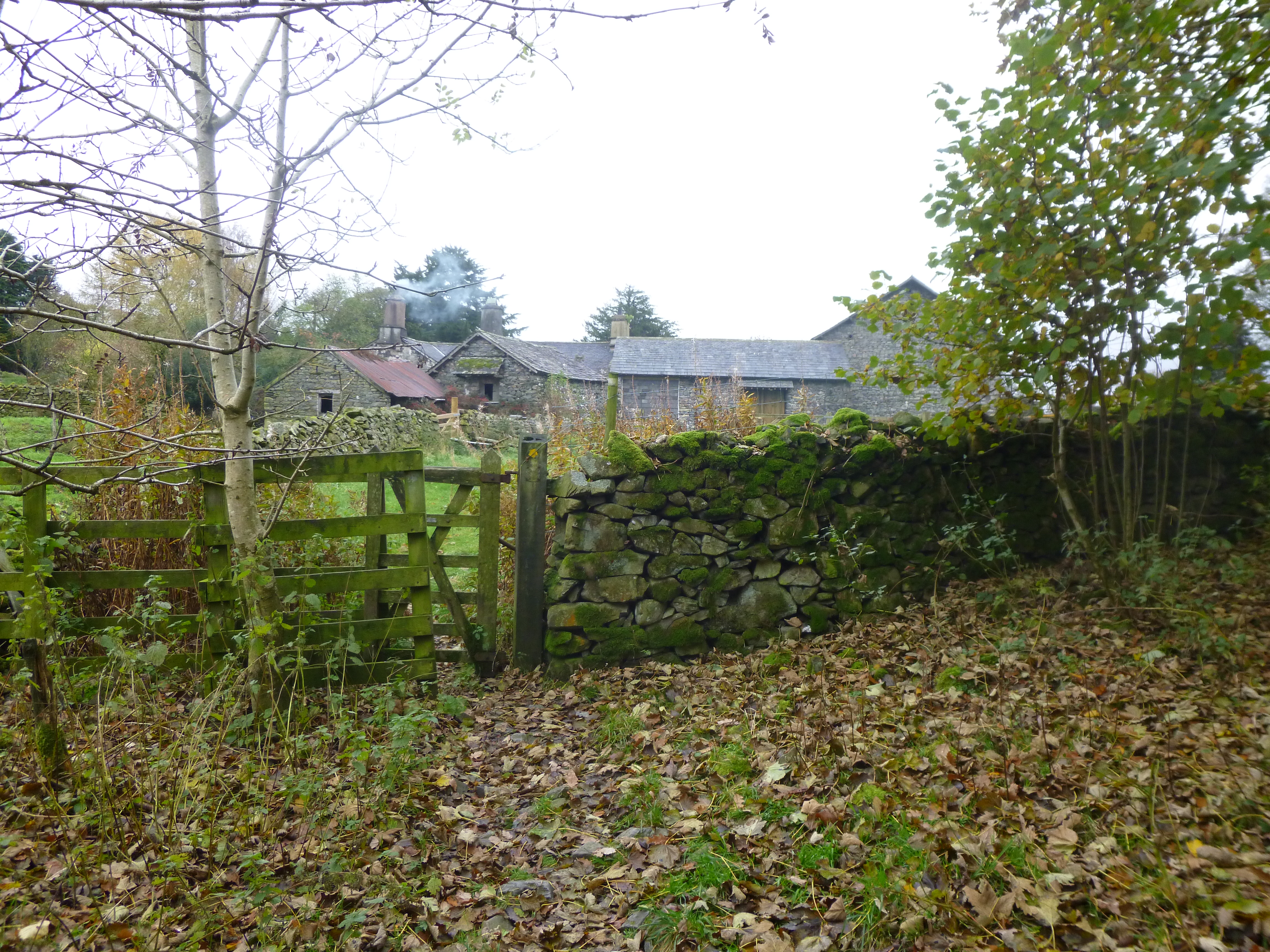
The M6 was crossed for the last time, by way of a road bridge diversion and soon we were in Greystone. It was here we left the canal, returning to field walking. The railway was recrossed, and after a muddy scramble across a ploughed field, we reached the A6 which took us into the lovely little village of Beetham (with a very inviting pub).
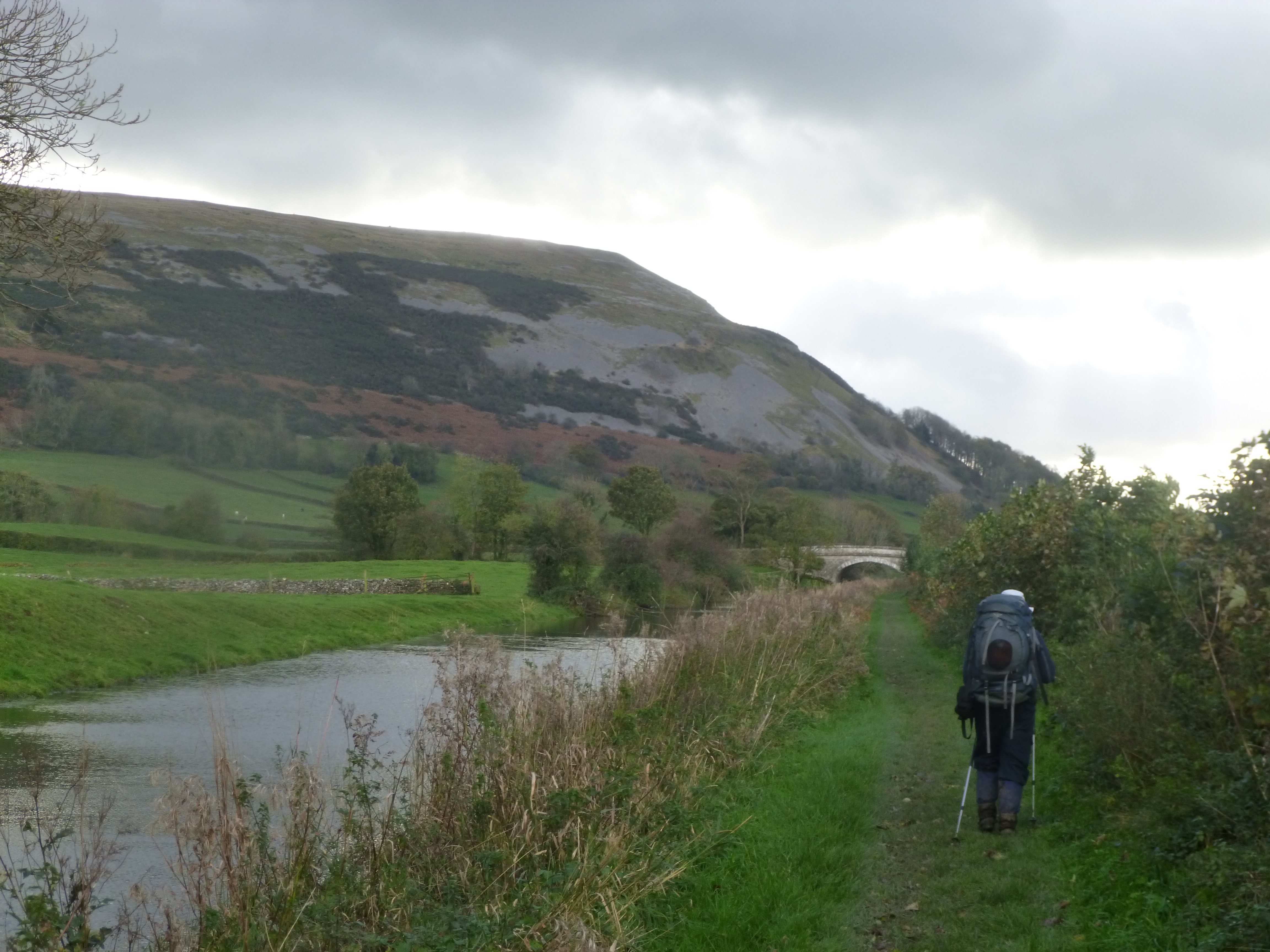
Farleton Knott from the canal
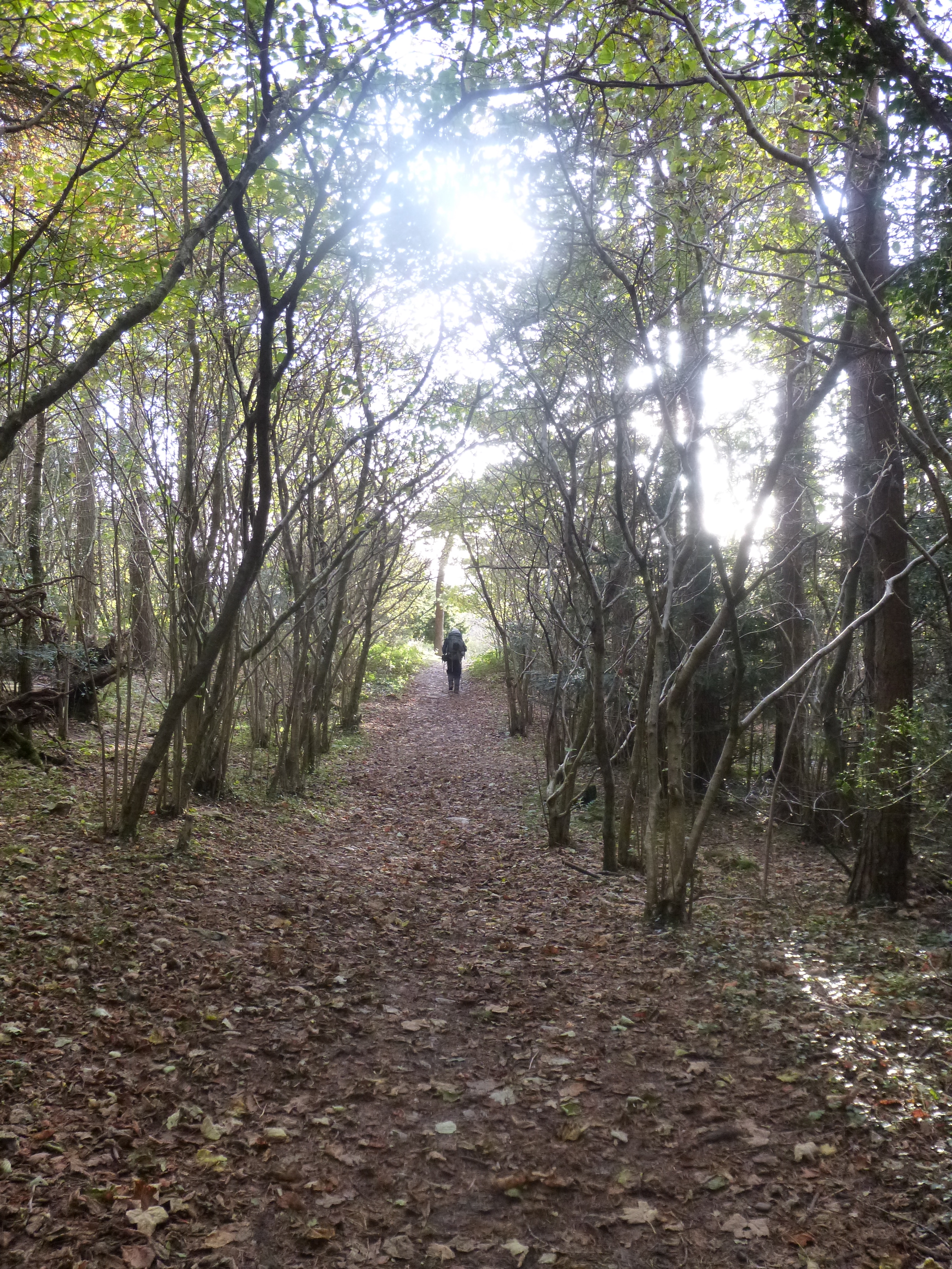
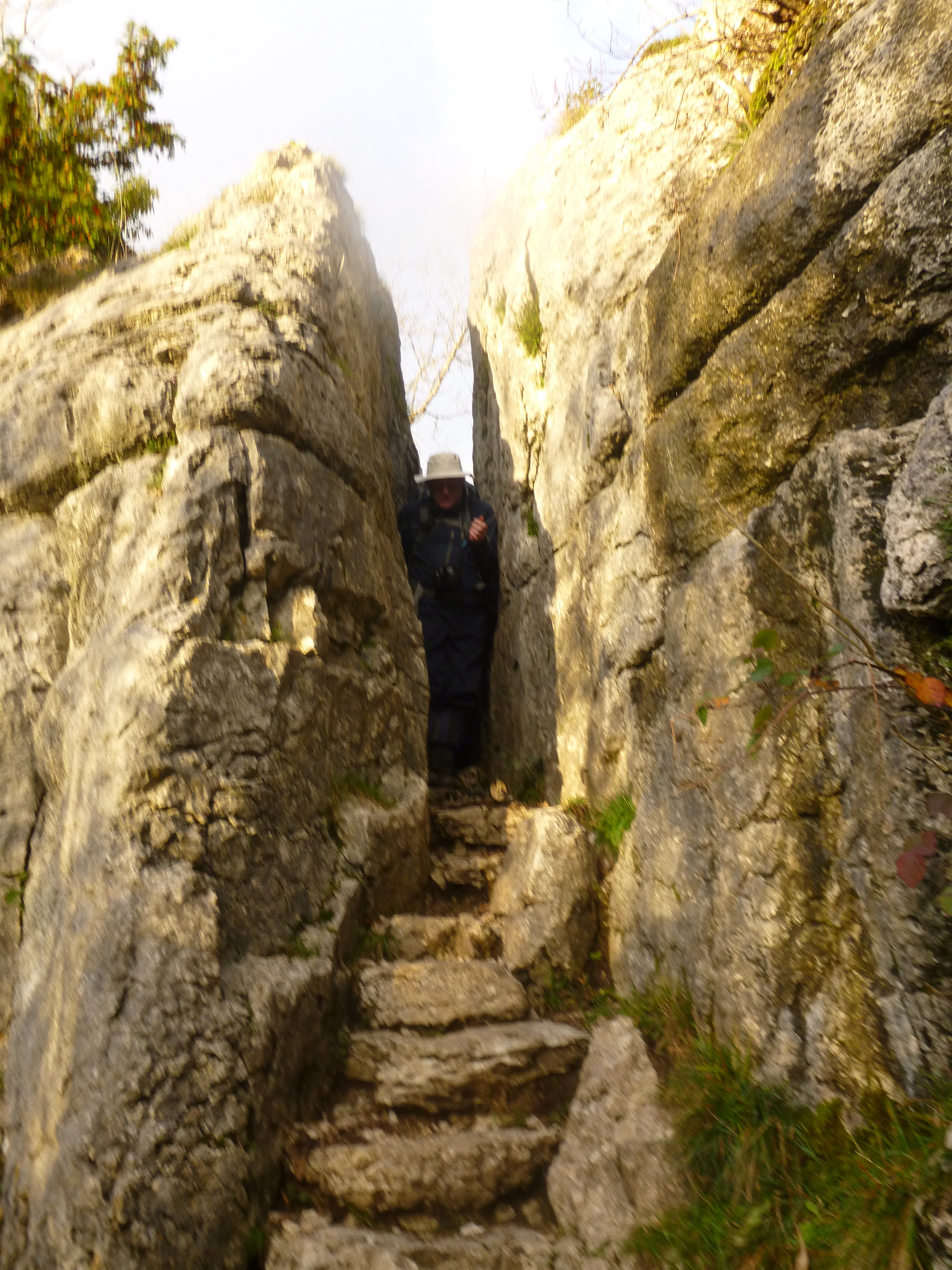
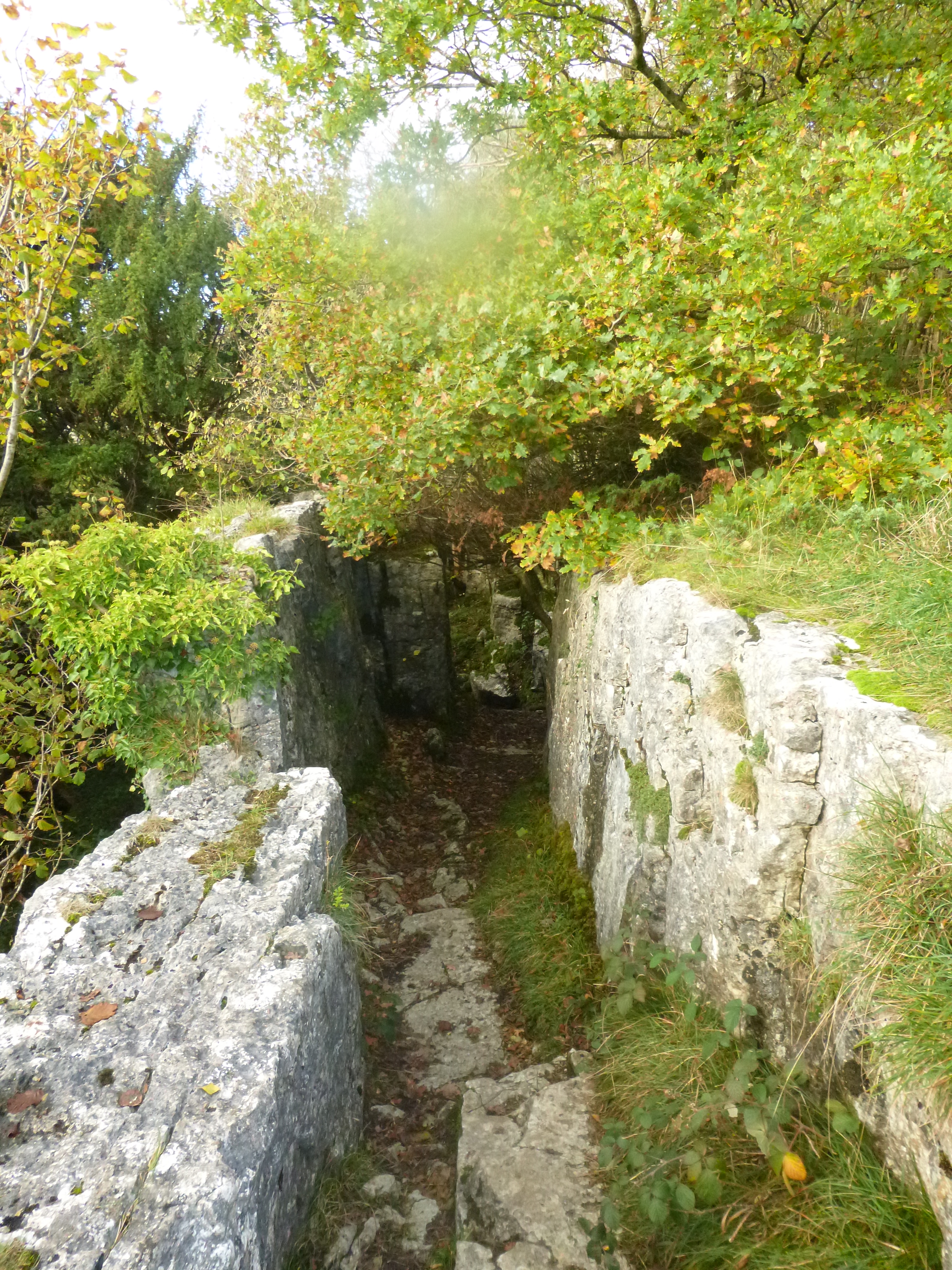
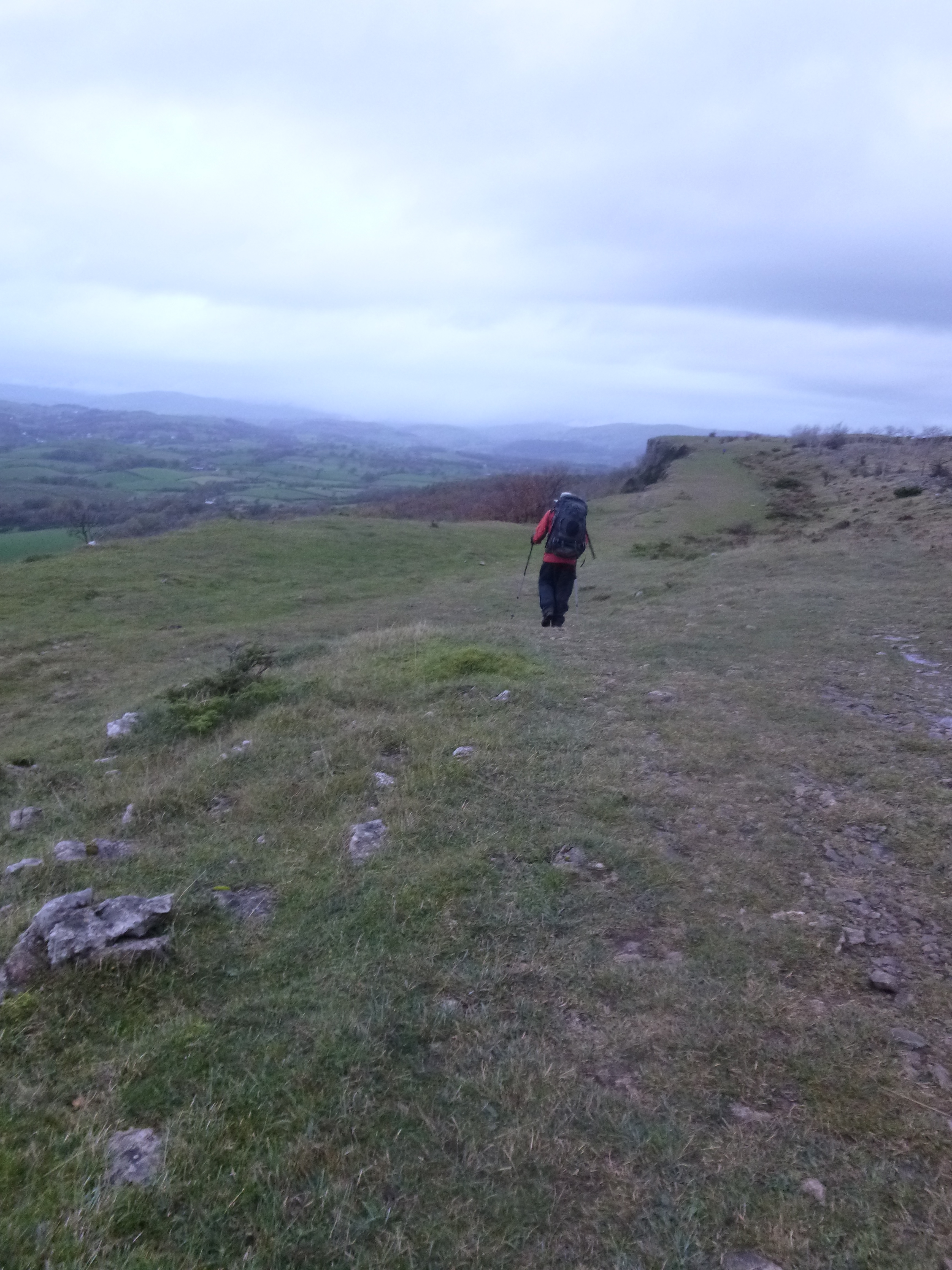
I must admit to giving the pub a longing look as we passed, but time was against us so it was a case of pressing on regardless. The generally flat walk of the day gave way to a stiff climb into some quite outstanding woodland (obviously a local shoot, with many “Keep Out, Private Property” signs and Pheasant feeders around) as we worked our way to the Fairy Steps, a narrow cleft in Limestone Cliffs. The views were outstanding from here, Arnside Knott and the town itself visible just a few km away. The cleft itself, to quote the guidebook, is something of a “fat man’s agony”.
The Lancaster Canal
It’s tight. Having a full pack on made it interesting (nothing to do with the size of my gut…honest) and eventually I spewed forth from the bottom and settled down for the entertainment as my father tried to negotiate it! This was a special section of the walk and a marvellous spot on the route.
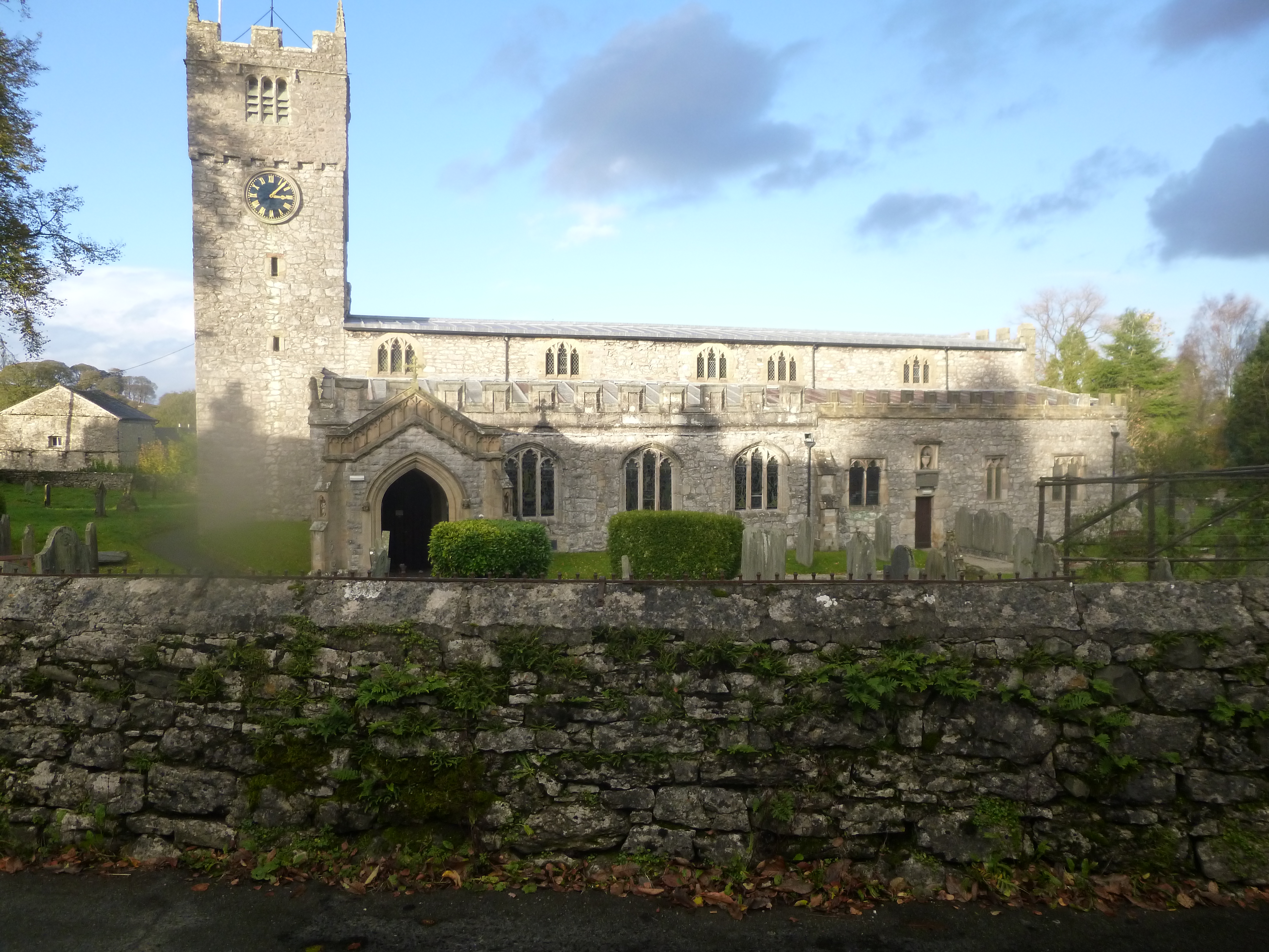
Church in Beetham
A couple of horrifically muddy fields later, we crossed underneath the railway taking the line into Arnside and began our ascent up the Knott. Unfortunately the light was fading fast, and we only managed to get lost in the woodland on the slopes, missing the path to the top.
Approaching the Fairy Steps
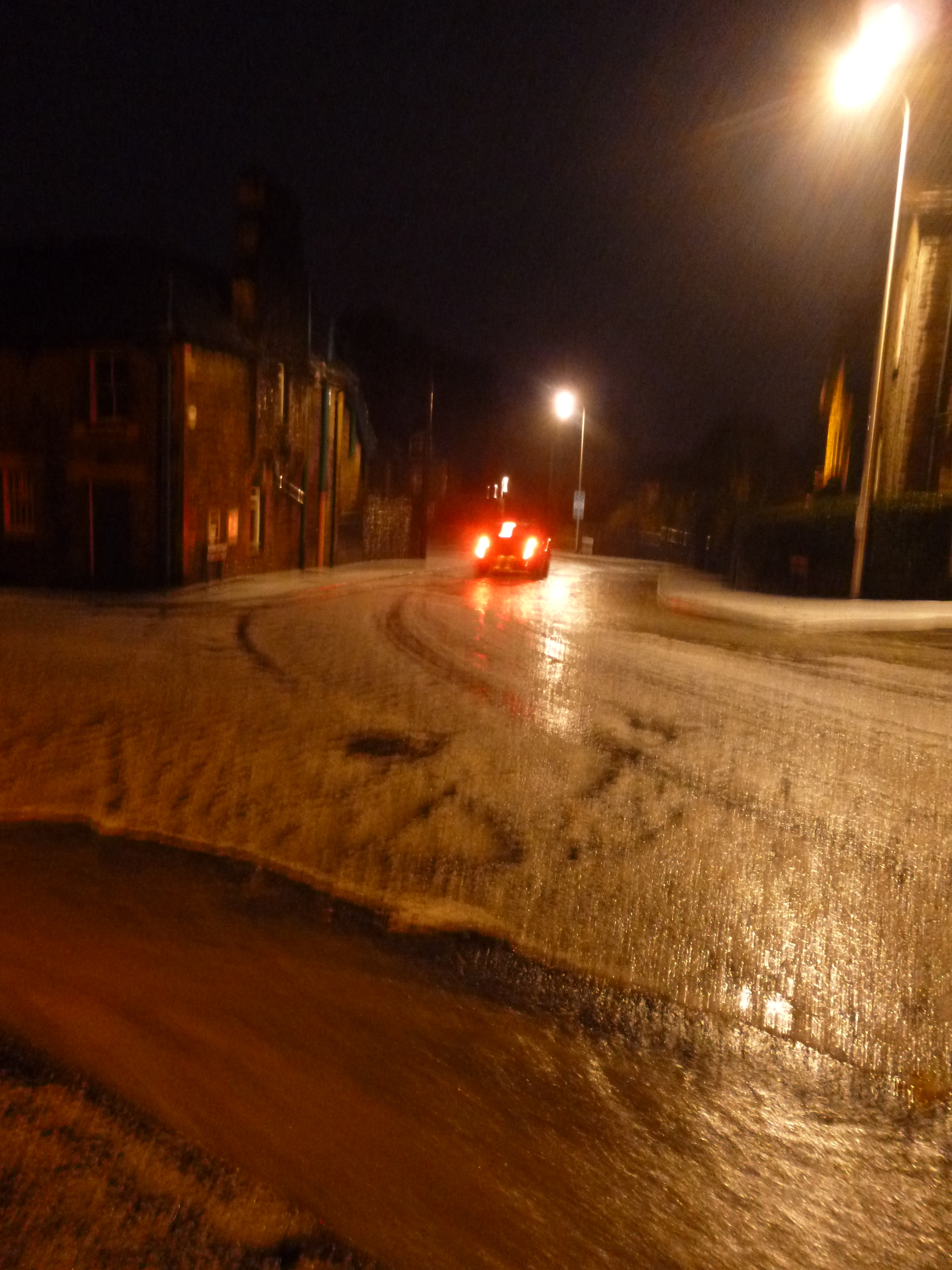
With head torches on we decided just to make for the hostel and call it a day, rather than blunder about on the Knott in the dark.
It wasn’t long before we reached the hostel, and settled in for the night.
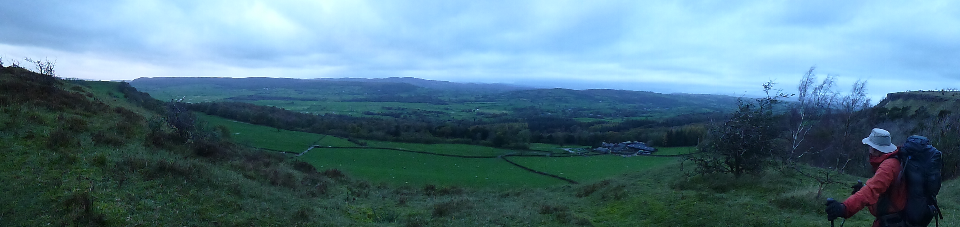
The view from the Fairy Steps
Day Rating 9/10
A really fine, and different days walk, with plenty of variety and interest. The Fairy Steps was a special place, and we were lucky to get there in good weather as the sun began to set. It was a popular place with quite a few families up there enjoying it. A nice way to end what had been a top quality trail.
Breathe in!
We finished the trail the next morning, walking down to the pier on the waterfront on the way to the station. It was safe to say it was freezing, a light fog out over the water with the viaduct carrying the railway over the bay shrouded in fog.
Overall Rating 59/70 (84%)
An outstanding trail that just about has it all. River walking, moorland, mountainous sections, waterfalls, lakes and canals just to mention a few items of interest. It got off to a slow start, but just got better and better as the days went on. After day one it could quite easily have taken the “easy” option of heading over the hills, but instead took a lovely low level route past Shap Abbey. The section through the lakes was just sublime (but when has it been anything other than sublime!), with they day through to Windemere really being the highlight of the walk. Scout Scar and the Fairly Steps were two special additions to the route.
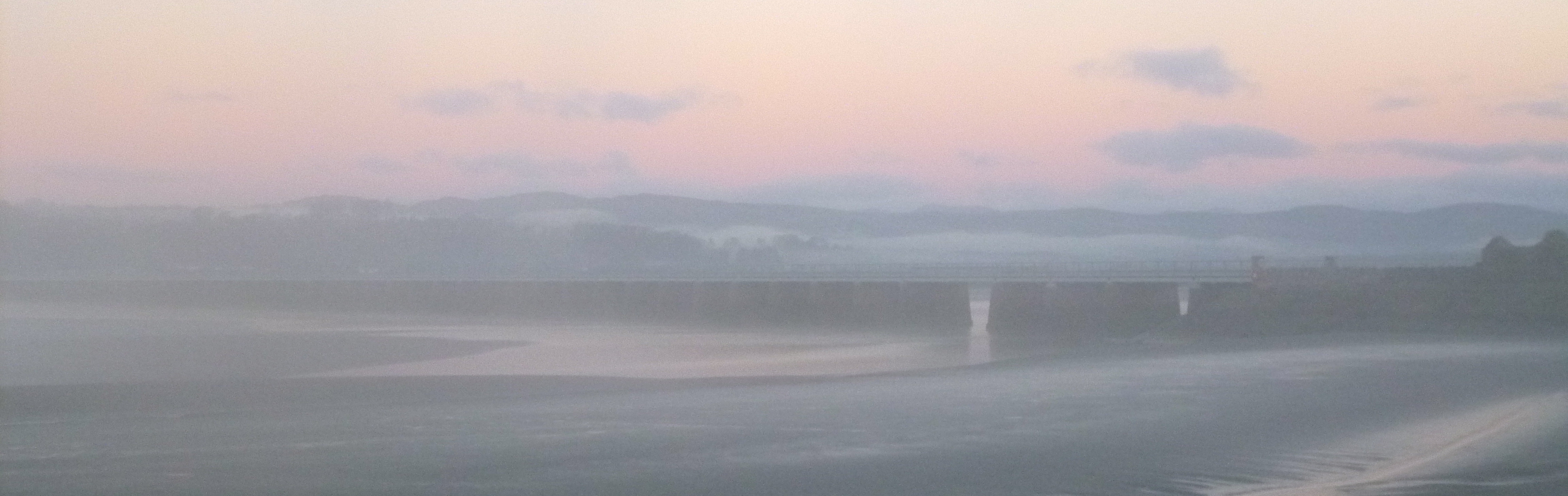
The railway viaduct across the bay in the morning mist
This is up there as one of the best long distance routes I think I’ve walked (especially as it doesn’t officially exist!), and it probably deserves a little more recognition – possibly even being way marked (we did go wrong several times – not badly enough to get hopelessly lost, but occasionally way marking would really have helped). We were lucky, for the most part with the weather, but there were some very wet moments, which does change your experience of a walk. In fine weather this would probably have rated even higher!
Highly recommended as a LDP.

You must be logged in to post a comment.